Almada night lights from space
Night Light of Almada (District of Setúbal) from space (Portugal) Src. Average luminocity for 10x10km area is 81.7993% and for 50x50km: 49.4206%.
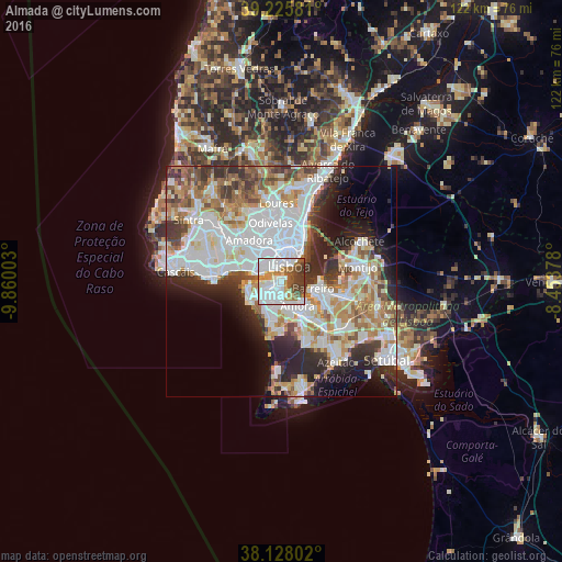
Analysis of Almada night lights 2016
Square area 10x10 km:
 39.97%
90-99
18.03%80-89
3.23%70-79
9.18%60-69
7.14%50-59
6.8%40-49
10.37%30-39
5.27%20-29
0%10-19
0%0-9
0%Square area 50x50 km:
15.66%90-99
12.53%80-89
4.41%70-79
5%60-69
6.22%50-59
4.96%40-49
4.6%30-39
5.59%20-29
8.28%10-19
7.82%0-9
24.95%Clear (daylight) street map image can be seen on geolist.org.
Map coordinates:
39° 13' 32.9" North, 9° 51' 36.1" West
38° 40' 44.5" North, 9° 9' 24.8" West
38° 7' 40.9" North, 8° 27' 13.6" West
Some cities around Almada sort by population:
• Lisbon
4.7 km =2.9 mi,  26°
26°
• Corroios
4.4 km =2.7 mi,  173°
173°
• Caparica
4.2 km =2.6 mi,  243°
243°
• Laranjeira
2.6 km =1.6 mi, 173°
• Piedade
1 km =0.6 mi,  188°
188°
• Sobreda
4.3 km =2.7 mi,  221°
221°
• Pragal
1.2 km =0.7 mi,  246°
246°
• Cacilhas
1 km =0.6 mi,  38°
38°
2271961 (p: 34,008)
Sources (retrieved 2019-11-25):
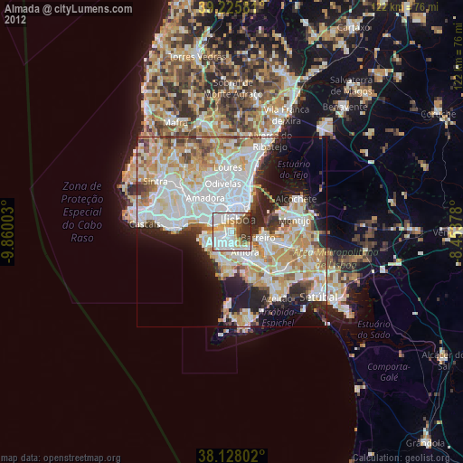
» Earth at Night: Flat Maps 2012, 2016