Grijó night lights from space
Night Light of Grijó (Porto) from space (Portugal) Src. Average luminocity for 10x10km area is 94.2245% and for 50x50km: 43.0824%.
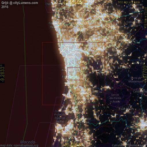
Analysis of Grijó night lights 2016
Square area 10x10 km:
 36.39%
90-99
38.78%80-89
16.33%70-79
8.5%60-69
0%50-59
0%40-49
0%30-39
0%20-29
0%10-19
0%0-9
0%Square area 50x50 km:
12.86%90-99
8.85%80-89
4.76%70-79
5.8%60-69
6.77%50-59
4.71%40-49
4.02%30-39
4.47%20-29
6.39%10-19
7.63%0-9
33.75%Clear (daylight) street map image can be seen on geolist.org.
Map coordinates:
41° 33' 23.9" North, 9° 16' 59.9" West
41° 1' 42.1" North, 8° 34' 48.6" West
40° 29' 44.9" North, 7° 52' 37.4" West
Some cities around Grijó sort by population:
• São Félix da Marinha
3.6 km =2.2 mi,  282°
282°
• Lourosa
5.5 km =3.4 mi,  153°
153°
• Argoncilhe
3.5 km =2.2 mi,  95°
95°
• Serzedo
3.9 km =2.4 mi,  309°
309°
• Perozinho
4.1 km =2.5 mi,  353°
353°
• Olival
3.9 km =2.4 mi,  51°
51°
• Lamas
4.8 km =3 mi,  168°
168°
• Nogueira da Regedoura
2.7 km =1.7 mi,  201°
201°
2738803 (p: 10,907)
Sources (retrieved 2019-11-25):
» Earth at Night: Flat Maps 2012, 2016