Castelões de Cepeda night lights from space
Night Light of Castelões de Cepeda (Porto) from space (Portugal) Src. Average luminocity for 10x10km area is 77.9756% and for 50x50km: 55.6186%.
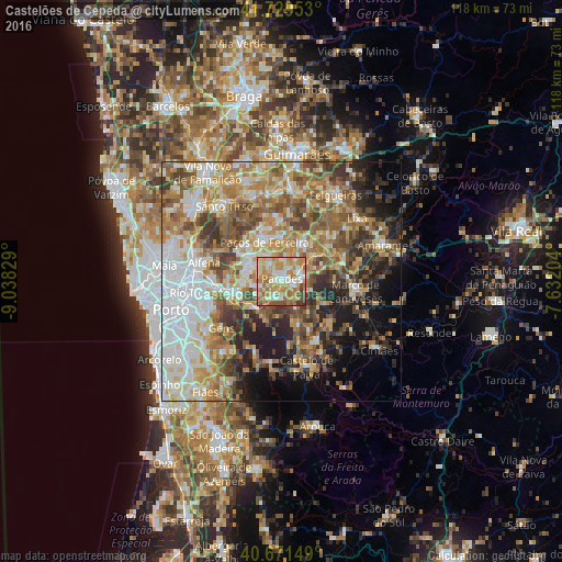
Analysis of Castelões de Cepeda night lights 2016
Square area 10x10 km:
 10.06%
90-99
20.94%80-89
14.61%70-79
24.68%60-69
18.51%50-59
6.33%40-49
3.25%30-39
1.62%20-29
0%10-19
0%0-9
0%Square area 50x50 km:
11.26%90-99
10.54%80-89
7.26%70-79
9.34%60-69
10.94%50-59
8.97%40-49
7.71%30-39
6.66%20-29
7.53%10-19
8.38%0-9
11.41%Clear (daylight) street map image can be seen on geolist.org.
Map coordinates:
41° 43' 46.3" North, 9° 2' 17.8" West
41° 12' 9.5" North, 8° 20' 6.6" West
40° 40' 17.4" North, 7° 37' 55.3" West
Some cities around Castelões de Cepeda sort by population:
• Paredes
0.4 km =0.2 mi,  51°
51°
• Perafita
7.1 km =4.4 mi,  108°
108°
• Rebordosa
6.4 km =4 mi,  291°
291°
• Lordelo
6.7 km =4.2 mi,  301°
301°
• Madalena
1.5 km =0.9 mi,  2°
2°
• Penafiel
4.4 km =2.7 mi,  81°
81°
• Paços de Ferreira
8.9 km =5.5 mi,  337°
337°
• Gandra
8.3 km =5.2 mi,  268°
268°
2740992 (p: 8,322)
Sources (retrieved 2019-11-25):
» Earth at Night: Flat Maps 2012, 2016