Porto Salvo night lights from space
Night Light of Porto Salvo (Lisbon) from space (Portugal) Src. Average luminocity for 10x10km area is 92.4235% and for 50x50km: 43.7101%.
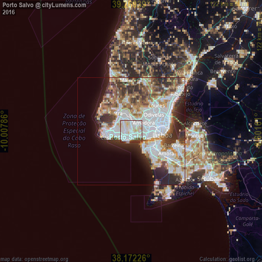
Analysis of Porto Salvo night lights 2016
Square area 10x10 km:
 40.48%
90-99
38.1%80-89
10.88%70-79
1.7%60-69
0%50-59
3.57%40-49
4.25%30-39
1.02%20-29
0%10-19
0%0-9
0%Square area 50x50 km:
14.39%90-99
10.43%80-89
3.69%70-79
4.01%60-69
5.2%50-59
4.6%40-49
4.96%30-39
6.1%20-29
7.38%10-19
6.21%0-9
33.03%Clear (daylight) street map image can be seen on geolist.org.
Map coordinates:
39° 16' 9.8" North, 10° 0' 28.3" West
38° 43' 22.5" North, 9° 18' 17" West
38° 10' 20.1" North, 8° 36' 5.8" West
Some cities around Porto Salvo sort by population:
• São Domingos de Rana
3.9 km =2.4 mi,  233°
233°
• Oeiras
3.6 km =2.2 mi,  188°
188°
• Massamá
3.9 km =2.4 mi,  31°
31°
• Paço de Arcos
3.2 km =2 mi,  159°
159°
• Carcavelos
3.9 km =2.4 mi,  203°
203°
• Barcarena
2.4 km =1.5 mi,  63°
63°
• Caxias
3.3 km =2.1 mi,  132°
132°
• Queijas
3.7 km =2.3 mi,  96°
96°
2264403 (p: 13,867)
Sources (retrieved 2019-11-25):
» Earth at Night: Flat Maps 2012, 2016