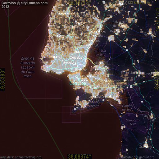
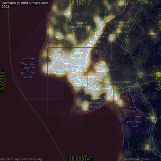
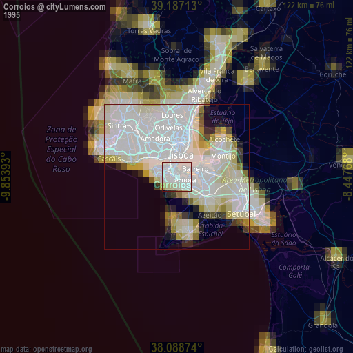
Corroios night lights from space
Night Light of Corroios (District of Setúbal) from space (Portugal) Src. Average luminocity for 10x10km area is 85.3636% and for 50x50km: 45.8362%.

Analysis of Corroios night lights 2016
Square area 10x10 km:
 37.34%
90-99
28.08%80-89
5.68%70-79
5.84%60-69
6.49%50-59
4.38%40-49
7.47%30-39
4.55%20-29
0.16%10-19
0%0-9
0%Square area 50x50 km:
15.11%90-99
11.94%80-89
4.01%70-79
4.66%60-69
5.48%50-59
4.04%40-49
3.37%30-39
4.44%20-29
7.92%10-19
8.47%0-9
30.57%Clear (daylight) street map image can be seen on geolist.org.
Map coordinates:
39° 11' 13.7" North, 9° 51' 14.1" West
38° 38' 24.1" North, 9° 9' 2.9" West
38° 5' 19.5" North, 8° 26' 51.6" West
Some cities around Corroios sort by population:
• Amora
3.3 km =2.1 mi,  110°
110°
• Almada
4.4 km =2.7 mi,  353°
353°
• Arrentela
4.6 km =2.9 mi, 111°
• Charneca de Caparica
4.4 km =2.7 mi,  239°
239°
• Laranjeira
1.8 km =1.1 mi, 351°
• Piedade
3.4 km =2.1 mi, 348°
• Sobreda
3.5 km =2.2 mi,  287°
287°
• Pragal
4.2 km =2.6 mi,  336°
336°
2269041 (p: 52,520)
Sources (retrieved 2019-11-25):
» NASA, Earths city lights 1995
» NASA city lights 2003
» Earth at Night: Flat Maps 2012, 2016