Caparica night lights from space
Night Light of Caparica (District of Setúbal) from space (Portugal) Src. Average luminocity for 10x10km area is 83.8653% and for 50x50km: 46.8508%.
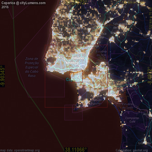
Analysis of Caparica night lights 2016
Square area 10x10 km:
 37.5%
37.5%90-99
25%80-89
5.19%70-79
10.23%60-69
6.49%50-59
3.9%40-49
3.57%30-39
1.79%20-29
4.71%10-19
1.62%0-9
0%Square area 50x50 km:
15.02%90-99
11.99%80-89
4.37%70-79
4.84%60-69
5.86%50-59
4.23%40-49
3.95%30-39
4.94%20-29
7.87%10-19
7.94%0-9
29%Clear (daylight) street map image can be seen on geolist.org.
Map coordinates:
39° 12' 31.4" North, 9° 54' 12.4" West
38° 39' 42.4" North, 9° 12' 1.2" West
38° 6' 38.4" North, 8° 29' 49.9" West
Some cities around Caparica sort by population:
• Almada
4.2 km =2.6 mi,  63°
63°
• Charneca de Caparica
4.6 km =2.9 mi,  173°
173°
• Laranjeira
4.1 km =2.5 mi,  99°
99°
• Piedade
3.7 km =2.3 mi,  75°
75°
• Costa de Caparica
3.6 km =2.2 mi,  237°
237°
• Sobreda
1.6 km =1 mi,  145°
145°
• Pragal
3 km =1.9 mi, 61°
• Trafaria
3 km =1.9 mi,  292°
292°
2270229 (p: 21,167)
Sources (retrieved 2019-11-25):
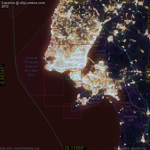
» Earth at Night: Flat Maps 2012, 2016