Qaffīn night lights from space
Night Light of Qaffīn (West Bank) from space (Palestinian Territory) Src. Average luminocity for 10x10km area is 64.8223% and for 50x50km: 56.7666%.
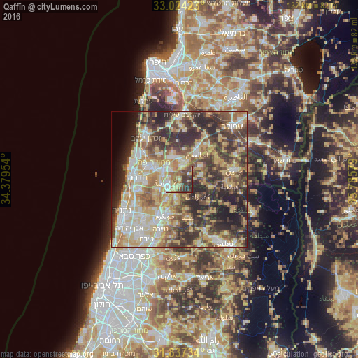
Analysis of Qaffīn night lights 2016
Square area 10x10 km:
 8.97%
8.97%90-99
11.54%80-89
14.47%70-79
10.44%60-69
11.36%50-59
11.36%40-49
12.27%30-39
11.72%20-29
7.88%10-19
0%0-9
0%Square area 50x50 km:
7.94%90-99
10.32%80-89
12.29%70-79
9.55%60-69
7.07%50-59
7.62%40-49
10.63%30-39
10.89%20-29
13.54%10-19
5.31%0-9
4.84%Clear (daylight) street map image can be seen on geolist.org.
Map coordinates:
33° 1' 27.2" North, 34° 22' 46.3" East
32° 25' 57.9" North, 35° 4' 57.6" East
31° 50' 14.4" North, 35° 47' 8.8" East
Some cities around Qaffīn sort by population:
• Umm el Faḥm, IL
11.5 km =7.1 mi,  35°
35°
• Ya‘bad
8.2 km =5.1 mi,  79°
79°
• ‘Attīl
7.1 km =4.4 mi,  188°
188°
• ‘Arrābah
11.6 km =7.2 mi,  105°
105°
• Dayr al Ghuşūn
8.9 km =5.5 mi,  183°
183°
• Kafr Rā‘ī
9.4 km =5.8 mi,  134°
134°
• ‘Illār
7.3 km =4.5 mi,  161°
161°
• Bal‘ā
11.3 km =7 mi,  166°
166°
282463 (p: 8,489)
Sources (retrieved 2019-11-25):
» Earth at Night: Flat Maps 2012, 2016