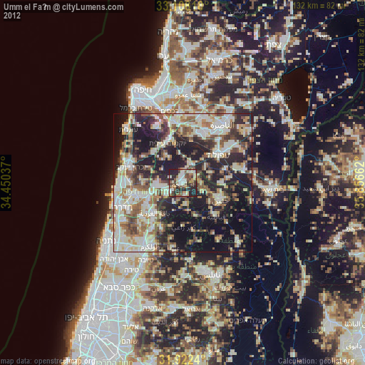
Umm el Faḥm night lights from space
Night Light of Umm el Faḥm (Haifa) from space (Israel) Src. Average luminocity for 10x10km area is 66.4011% and for 50x50km: 57.2938%.
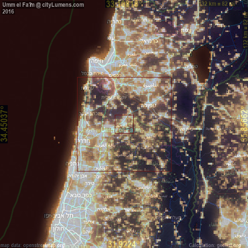
Analysis of Umm el Faḥm night lights 2016
Square area 10x10 km:
 6.96%
6.96%90-99
13%80-89
14.29%70-79
15.2%60-69
6.96%50-59
16.85%40-49
10.81%30-39
12.82%20-29
3.11%10-19
0%0-9
0%Square area 50x50 km:
6.82%90-99
9.61%80-89
12.26%70-79
10.17%60-69
8.08%50-59
8.75%40-49
11.48%30-39
11.54%20-29
13.53%10-19
6%0-9
1.76%Clear (daylight) street map image can be seen on geolist.org.
Map coordinates:
33° 6' 29.4" North, 34° 27' 1.3" East
32° 31' 2.1" North, 35° 9' 12.6" East
31° 55' 20.6" North, 35° 51' 23.8" East
Some cities around Umm el Faḥm sort by population:
• Janīn, PS
15.2 km =9.4 mi,  114°
114°
• Al Yāmūn, PS
8 km =5 mi,  116°
116°
• Ya‘bad, PS
8.1 km =5 mi,  170°
170°
• ‘Arrābah, PS
13.3 km =8.3 mi,  159°
159°
• Sīlat al Ḩārithīyah, PS
7 km =4.3 mi,  98°
98°
• Qaffīn, PS
11.5 km =7.1 mi,  215°
215°
• Kafr Rā‘ī, PS
15.9 km =9.9 mi,  179°
179°
• Birqīn, PS
12.2 km =7.6 mi, 124°
293286 (p: 41,030)
Sources (retrieved 2019-11-25):
» Earth at Night: Flat Maps 2012, 2016