Dayr al Balaḩ night lights from space
Night Light of Dayr al Balaḩ (Gaza Strip) from space (Palestinian Territory) Src. Average luminocity for 10x10km area is 43.8671% and for 50x50km: 22.9171%.
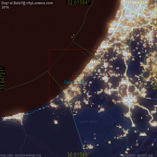
Analysis of Dayr al Balaḩ night lights 2016
Square area 10x10 km:
 1.05%
1.05%90-99
1.75%80-89
5.94%70-79
14.34%60-69
10.31%50-59
8.39%40-49
12.94%30-39
8.22%20-29
11.89%10-19
17.13%0-9
8.04%Square area 50x50 km:
1.59%90-99
2.06%80-89
3.91%70-79
5.01%60-69
2.7%50-59
2.75%40-49
5.52%30-39
5.01%20-29
8.99%10-19
13.73%0-9
48.73%Clear (daylight) street map image can be seen on geolist.org.
Map coordinates:
32° 0' 57.4" North, 33° 38' 50" East
31° 25' 4.2" North, 34° 21' 1.2" East
30° 48' 57.2" North, 35° 3' 12.5" East
Some cities around Dayr al Balaḩ sort by population:
• Khān Yūnis
9.6 km =6 mi,  205°
205°
• An Nuşayrāt
5.3 km =3.3 mi,  49°
49°
• Al Burayj
5.5 km =3.4 mi,  64°
64°
• Banī Suhaylā
8.7 km =5.4 mi,  197°
197°
• Al Qarārah
5 km =3.1 mi,  190°
190°
• Az Zuwāydah
3.7 km =2.3 mi, 49°
• Al Mughrāqah
7.9 km =4.9 mi, 47°
• ‘Abasān al Jadīdah
8.5 km =5.3 mi,  182°
182°
281141 (p: 59,504)
Sources (retrieved 2019-11-25):
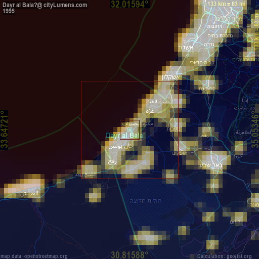
» NASA, Earths city lights 1995
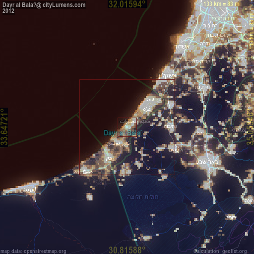
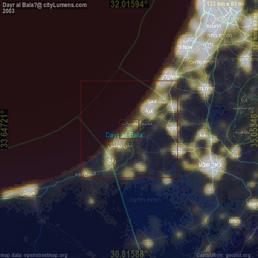
» NASA city lights 2003
» Earth at Night: Flat Maps 2012, 2016