Khān Yūnis night lights from space
Night Light of Khān Yūnis (Gaza Strip) from space (Palestinian Territory) Src. Average luminocity for 10x10km area is 54.8112% and for 50x50km: 19.0247%.
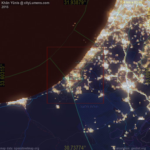
Analysis of Khān Yūnis night lights 2016
Square area 10x10 km:
 0%
0%90-99
0.7%80-89
9.97%70-79
16.96%60-69
13.29%50-59
12.76%40-49
27.8%30-39
10.66%20-29
4.02%10-19
3.85%0-9
0%Square area 50x50 km:
0.99%90-99
1.28%80-89
3.48%70-79
4.31%60-69
2.43%50-59
2.39%40-49
4.34%30-39
3.92%20-29
6.62%10-19
13.43%0-9
56.83%Clear (daylight) street map image can be seen on geolist.org.
Map coordinates:
31° 56' 19.6" North, 33° 36' 11.3" East
31° 20' 24.6" North, 34° 18' 22.6" East
30° 44' 15.9" North, 35° 0' 33.8" East
Some cities around Khān Yūnis sort by population:
• Rafaḩ
7.6 km =4.7 mi,  231°
231°
• Banī Suhaylā
1.7 km =1.1 mi,  77°
77°
• Al Qarārah
5 km =3.1 mi,  41°
41°
• ‘Abasān al Kabīrah
4 km =2.5 mi,  126°
126°
• Khuzā‘ah
6.4 km =4 mi, 125°
• An Naşr
6.5 km =4 mi,  183°
183°
• ‘Abasān al Jadīdah
3.8 km =2.4 mi,  87°
87°
• Al Fukhkhārī
5.8 km =3.6 mi,  156°
156°
281124 (p: 173,183)
Sources (retrieved 2019-11-25):
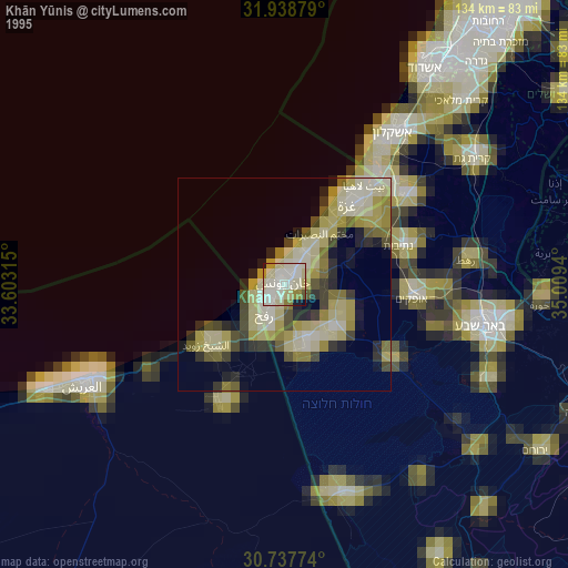
» NASA, Earths city lights 1995
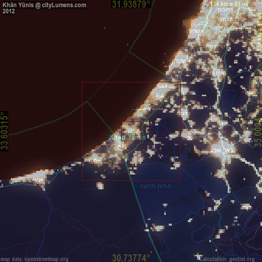
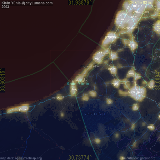
» NASA city lights 2003
» Earth at Night: Flat Maps 2012, 2016