Lajas night lights from space
Night Light of Lajas from space (Puerto Rico) Src. Average luminocity for 10x10km area is 47.0736% and for 50x50km: 16.912%.
Analysis of Lajas night lights 2016
Square area 10x10 km:
 3.25%
3.25%90-99
7.14%80-89
10.39%70-79
6.93%60-69
7.79%50-59
1.95%40-49
6.28%30-39
17.32%20-29
22.73%10-19
16.23%0-9
0%Square area 50x50 km:
0.95%90-99
1.52%80-89
3.2%70-79
2.44%60-69
3.55%50-59
1.74%40-49
1.9%30-39
5.14%20-29
6.93%10-19
11.06%0-9
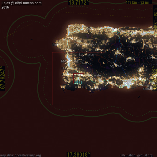
61.58%Clear (daylight) street map image can be seen on geolist.org.
Map coordinates:
18° 43' 1.9" North, 67° 45' 44.9" West
18° 2' 59.9" North, 67° 3' 33.6" West
17° 22' 48.6" North, 66° 21' 22.4" West
Some cities around Lajas sort by population:
• Mayagüez
18.8 km =11.7 mi,  333°
333°
• San Germán
3.8 km =2.4 mi,  23°
23°
• Hormigueros
12.3 km =7.6 mi,  324°
324°
• Cabo Rojo
10 km =6.2 mi,  294°
294°
• Guánica
18.2 km =11.3 mi,  118°
118°
• Sabana Grande
10.9 km =6.8 mi,  73°
73°
• Puerto Real
13.8 km =8.6 mi,  281°
281°
• Maricao
16.8 km =10.4 mi,  29°
29°
4565898 (p: 5,255)
Sources (retrieved 2019-11-25):
» Earth at Night: Flat Maps 2012, 2016