Las Marías night lights from space
Night Light of Las Marías from space (Puerto Rico) Src. Average luminocity for 10x10km area is 12.1255% and for 50x50km: 32.3314%.
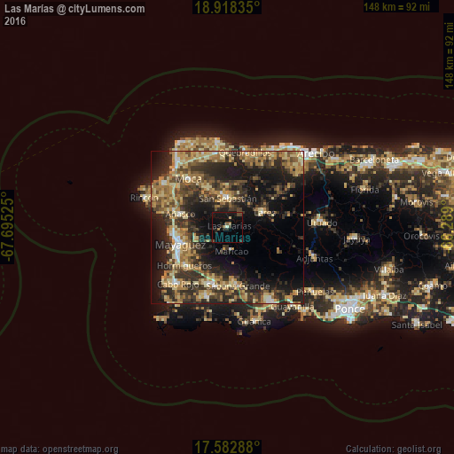
Analysis of Las Marías night lights 2016
Square area 10x10 km:
 0%
0%90-99
0.87%80-89
0.87%70-79
0%60-69
1.73%50-59
2.38%40-49
2.81%30-39
1.73%20-29
3.9%10-19
17.32%0-9
68.4%Square area 50x50 km:
1.46%90-99
2.33%80-89
6.7%70-79
5.82%60-69
7.12%50-59
4.28%40-49
5.54%30-39
8.67%20-29
12.46%10-19
17.12%0-9
28.51%Clear (daylight) street map image can be seen on geolist.org.
Map coordinates:
18° 55' 6.1" North, 67° 41' 42.9" West
18° 15' 6.8" North, 66° 59' 31.6" West
17° 34' 58.4" North, 66° 17' 20.4" West
Some cities around Las Marías sort by population:
• Mayagüez
16.6 km =10.3 mi,  250°
250°
• San Germán
19.7 km =12.2 mi,  196°
196°
• Hormigueros
19 km =11.8 mi,  228°
228°
• San Sebastián
9.4 km =5.8 mi,  1°
1°
• Sabana Grande
19.7 km =12.2 mi,  170°
170°
• Lares
13 km =8.1 mi,  68°
68°
• Añasco
15.9 km =9.9 mi,  282°
282°
• Maricao
8 km =5 mi, 170°
4565958 (p: 1,031)
Sources (retrieved 2019-11-25):
» Earth at Night: Flat Maps 2012, 2016