Hormigueros night lights from space
Night Light of Hormigueros from space (Puerto Rico) Src. Average luminocity for 10x10km area is 57.5628% and for 50x50km: 21.7047%.
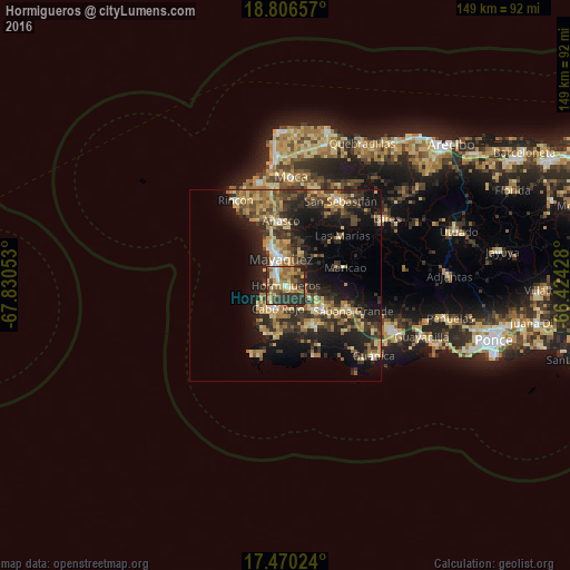
Analysis of Hormigueros night lights 2016
Square area 10x10 km:
 4.11%
4.11%90-99
7.14%80-89
11.9%70-79
10.39%60-69
18.18%50-59
5.84%40-49
8.66%30-39
16.45%20-29
17.32%10-19
0%0-9
0%Square area 50x50 km:
0.96%90-99
1.59%80-89
4.39%70-79
3.4%60-69
4.7%50-59
2.54%40-49
3.44%30-39
6.52%20-29
8.1%10-19
13.87%0-9
50.51%Clear (daylight) street map image can be seen on geolist.org.
Map coordinates:
18° 48' 23.7" North, 67° 49' 49.9" West
18° 8' 22.8" North, 67° 7' 38.6" West
17° 28' 12.9" North, 66° 25' 27.4" West
Some cities around Hormigueros sort by population:
• Mayagüez
6.9 km =4.3 mi,  349°
349°
• San Germán
10.8 km =6.7 mi,  126°
126°
• Cabo Rojo
6.2 km =3.9 mi,  198°
198°
• Sabana Grande
18.9 km =11.7 mi,  111°
111°
• Puerto Real
9.6 km =6 mi,  221°
221°
• Añasco
16 km =9.9 mi,  355°
355°
• Lajas
12.3 km =7.6 mi,  144°
144°
• Maricao
16.2 km =10.1 mi,  73°
73°
4565380 (p: 11,934)
Sources (retrieved 2019-11-25):
» Earth at Night: Flat Maps 2012, 2016