Cabo Rojo night lights from space
Night Light of Cabo Rojo from space (Puerto Rico) Src. Average luminocity for 10x10km area is 52.6775% and for 50x50km: 16.3127%.
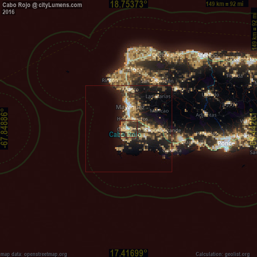
Analysis of Cabo Rojo night lights 2016
Square area 10x10 km:
 2.38%
2.38%90-99
3.9%80-89
10.61%70-79
12.34%60-69
16.88%50-59
3.25%40-49
7.36%30-39
18.4%20-29
24.24%10-19
0.65%0-9
0%Square area 50x50 km:
0.84%90-99
1.37%80-89
3.09%70-79
2.25%60-69
3.58%50-59
1.49%40-49
2.28%30-39
4.77%20-29
6.71%10-19
11.64%0-9
61.97%Clear (daylight) street map image can be seen on geolist.org.
Map coordinates:
18° 45' 13.4" North, 67° 50' 55.9" West
18° 5' 11.9" North, 67° 8' 44.6" West
17° 25' 1.2" North, 66° 26' 33.4" West
Some cities around Cabo Rojo sort by population:
• Mayagüez
12.7 km =7.9 mi,  2°
2°
• San Germán
10.7 km =6.6 mi,  92°
92°
• Hormigueros
6.2 km =3.9 mi,  18°
18°
• Sabana Grande
19.6 km =12.2 mi, 92°
• Puerto Real
4.6 km =2.9 mi,  253°
253°
• Añasco
21.8 km =13.5 mi, 1°
• Lajas
10 km =6.2 mi,  114°
114°
• Maricao
20.4 km =12.7 mi,  59°
59°
4562996 (p: 10,839)
Sources (retrieved 2019-11-25):
» Earth at Night: Flat Maps 2012, 2016