Zduńska Wola night lights from space
Night Light of Zduńska Wola (Łódź Voivodeship) from space (Poland) Src. Average luminocity for 10x10km area is 23.6898% and for 50x50km: 3.2691%.
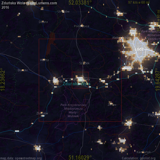
Analysis of Zduńska Wola night lights 2016
Square area 10x10 km:
 4.55%
4.55%90-99
5.61%80-89
1.07%70-79
2.54%60-69
1.74%50-59
1.87%40-49
2.41%30-39
3.07%20-29
1.2%10-19
29.55%0-9
46.39%Square area 50x50 km:
0.51%90-99
0.62%80-89
0.26%70-79
0.3%60-69
0.32%50-59
0.29%40-49
0.42%30-39
0.41%20-29
0.12%10-19
2.58%0-9
94.17%Clear (daylight) street map image can be seen on geolist.org.
Map coordinates:
52° 2' 1.7" North, 18° 14' 11.8" East
51° 35' 56.9" North, 18° 56' 23.1" East
51° 9' 37" North, 19° 38' 34.3" East
Some cities around Zduńska Wola sort by population:
• Pabianice
29.5 km =18.3 mi,  75°
75°
• Sieradz
14.5 km =9 mi,  268°
268°
• Aleksandrów Łódzki
35.1 km =21.8 mi,  45°
45°
• Łask
13.4 km =8.3 mi,  94°
94°
• Konstantynów Łódzki
31.3 km =19.4 mi,  58°
58°
• Zelów
24.5 km =15.2 mi,  127°
127°
• Poddębice
32.7 km =20.3 mi,  2°
2°
• Ksawerów
33.3 km =20.7 mi,  73°
73°
3080414 (p: 44,515)
Sources (retrieved 2019-11-25):
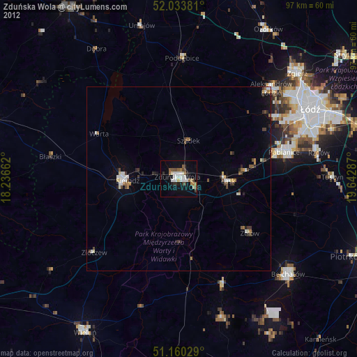
» Earth at Night: Flat Maps 2012, 2016