Wronki night lights from space
Night Light of Wronki (Greater Poland) from space (Poland) Src. Average luminocity for 10x10km area is 7.3927% and for 50x50km: 2.1468%.
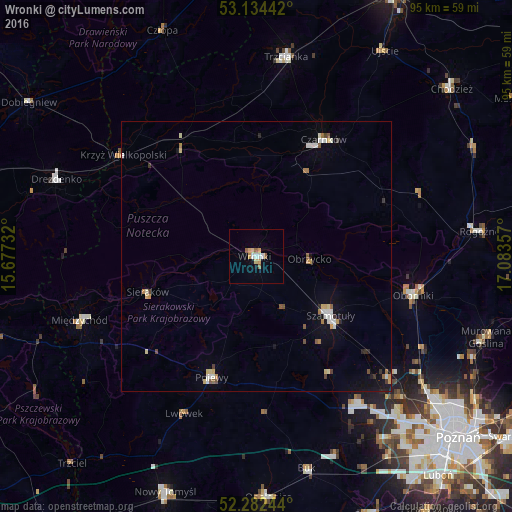
Analysis of Wronki night lights 2016
Square area 10x10 km:
 1.14%
1.14%90-99
0.88%80-89
1.39%70-79
1.26%60-69
0.63%50-59
1.77%40-49
0%30-39
0%20-29
0%10-19
1.01%0-9
91.92%Square area 50x50 km:
0.33%90-99
0.33%80-89
0.29%70-79
0.27%60-69
0.22%50-59
0.28%40-49
0.15%30-39
0.21%20-29
0.14%10-19
0.79%0-9
97%Clear (daylight) street map image can be seen on geolist.org.
Map coordinates:
53° 8' 3.9" North, 15° 40' 38.4" East
52° 42' 37.8" North, 16° 22' 49.6" East
52° 16' 56.8" North, 17° 5' 0.9" East
Some cities around Wronki sort by population:
• Szamotuły
17.2 km =10.7 mi,  129°
129°
• Oborniki
30.1 km =18.7 mi,  103°
103°
• Czarnków
24.6 km =15.3 mi,  30°
30°
• Międzychód
34.9 km =21.7 mi,  249°
249°
• Pniewy
23.9 km =14.9 mi,  200°
200°
• Krzyż Wielkopolski
31.2 km =19.4 mi,  307°
307°
• Sieraków
21.3 km =13.2 mi, 251°
• Wieleń
24.8 km =15.4 mi,  325°
325°
3081350 (p: 11,462)
Sources (retrieved 2019-11-25):
» Earth at Night: Flat Maps 2012, 2016