Krzyż Wielkopolski night lights from space
Night Light of Krzyż Wielkopolski (Greater Poland) from space (Poland) Src. Average luminocity for 10x10km area is 1.6629% and for 50x50km: 0.6371%.
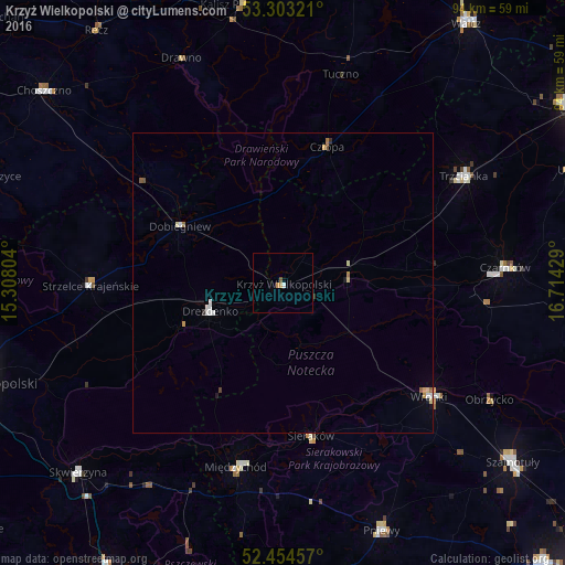
Analysis of Krzyż Wielkopolski night lights 2016
Square area 10x10 km:
 0.25%
0.25%90-99
0.25%80-89
0%70-79
1.01%60-69
0%50-59
0.38%40-49
0.13%30-39
0%20-29
0%10-19
0%0-9
97.98%Square area 50x50 km:
0.09%90-99
0.13%80-89
0.1%70-79
0.1%60-69
0.08%50-59
0.08%40-49
0.06%30-39
0.05%20-29
0.02%10-19
0.08%0-9
99.22%Clear (daylight) street map image can be seen on geolist.org.
Map coordinates:
53° 18' 11.6" North, 15° 18' 28.9" East
52° 52' 51.5" North, 16° 0' 40.2" East
52° 27' 16.5" North, 16° 42' 51.4" East
Some cities around Krzyż Wielkopolski sort by population:
• Trzcianka
34.7 km =21.6 mi,  59°
59°
• Czarnków
37.2 km =23.1 mi,  86°
86°
• Wronki
31.2 km =19.4 mi,  127°
127°
• Międzychód
32.3 km =20.1 mi,  193°
193°
• Drezdenko
13 km =8.1 mi,  248°
248°
• Strzelce Krajeńskie
32.3 km =20.1 mi,  269°
269°
• Sieraków
26 km =16.2 mi,  169°
169°
• Wieleń
10.9 km =6.8 mi,  81°
81°
3094408 (p: 6,300)
Sources (retrieved 2019-11-25):
» Earth at Night: Flat Maps 2012, 2016