Międzyzdroje night lights from space
Night Light of Międzyzdroje (West Pomerania) from space (Poland) Src. Average luminocity for 10x10km area is 4.4643% and for 50x50km: 1.9476%.
Analysis of Międzyzdroje night lights 2016
Square area 10x10 km:
 0.79%
0.79%90-99
0.26%80-89
1.32%70-79
0.26%60-69
0.26%50-59
0.79%40-49
0.53%30-39
0%20-29
2.12%10-19
0%0-9
93.65%Square area 50x50 km:
0.32%90-99
0.44%80-89
0.2%70-79
0.11%60-69
0.17%50-59
0.18%40-49
0.2%30-39
0.16%20-29
0.25%10-19
1.77%0-9
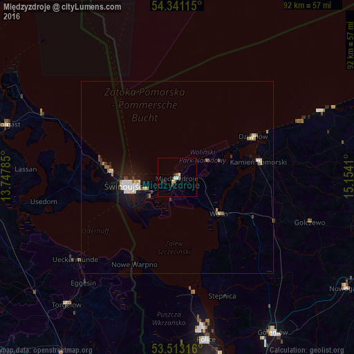
96.19%Clear (daylight) street map image can be seen on geolist.org.
Map coordinates:
54° 20' 28.1" North, 13° 44' 52.3" East
53° 55' 45.2" North, 14° 27' 3.5" East
53° 30' 47.4" North, 15° 9' 14.8" East
Some cities around Międzyzdroje sort by population:
• Świnoujście
13.5 km =8.4 mi,  261°
261°
• Police
42.7 km =26.5 mi,  169°
169°
• Wolgast, DE
46.5 km =28.9 mi,  287°
287°
• Wolin
14.4 km =8.9 mi,  132°
132°
• Ueckermünde, DE
34.1 km =21.2 mi,  231°
231°
• Torgelow, DE
43.6 km =27.1 mi,  221°
221°
• Kamień Pomorski
21.5 km =13.4 mi,  78°
78°
• Eggesin, DE
36.9 km =22.9 mi, 221°
3091961 (p: 5,502)
Sources (retrieved 2019-11-25):
» Earth at Night: Flat Maps 2012, 2016