Wałbrzych night lights from space
Night Light of Wałbrzych (Lower Silesia) from space (Poland) Src. Average luminocity for 10x10km area is 39.972% and for 50x50km: 5.7054%.
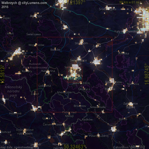
Analysis of Wałbrzych night lights 2016
Square area 10x10 km:
 4.2%
4.2%90-99
7.7%80-89
7.7%70-79
4.62%60-69
5.88%50-59
4.06%40-49
6.44%30-39
4.2%20-29
11.9%10-19
34.03%0-9
9.24%Square area 50x50 km:
0.75%90-99
1.13%80-89
0.57%70-79
0.53%60-69
0.6%50-59
0.63%40-49
0.67%30-39
0.62%20-29
1.24%10-19
4.78%0-9
88.47%Clear (daylight) street map image can be seen on geolist.org.
Map coordinates:
51° 12' 50.3" North, 15° 34' 52.3" East
50° 46' 17.1" North, 16° 17' 3.6" East
50° 19' 28.7" North, 16° 59' 14.8" East
Some cities around Wałbrzych sort by population:
• Świdnica
16.5 km =10.3 mi,  60°
60°
• Świebodzice
10.1 km =6.3 mi,  14°
14°
• Kamienna Góra
17.9 km =11.1 mi,  274°
274°
• Boguszów-Gorce
5.9 km =3.7 mi,  252°
252°
• Głuszyca
11.2 km =7 mi,  146°
146°
• Szczawno-Zdrój
4.1 km =2.5 mi,  331°
331°
• Jaworzyna Śląska
18.9 km =11.7 mi,  33°
33°
• Jedlina-Zdrój
7.2 km =4.5 mi,  142°
142°
3082707 (p: 127,431)
Sources (retrieved 2019-11-25):
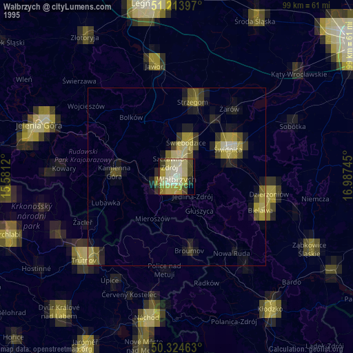
» NASA, Earths city lights 1995
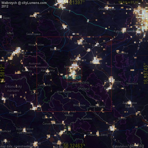
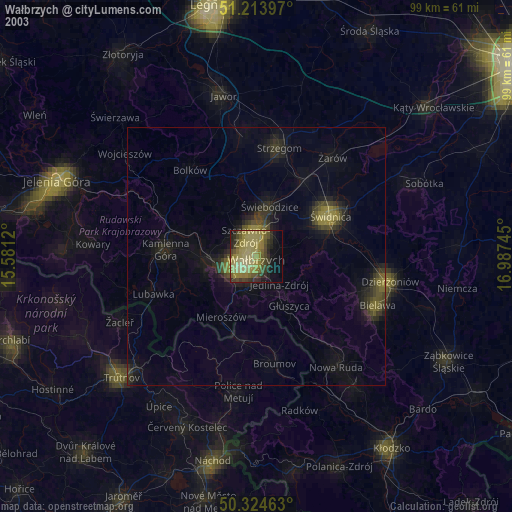
» NASA city lights 2003
» Earth at Night: Flat Maps 2012, 2016