Świdnica night lights from space
Night Light of Świdnica (Lower Silesia) from space (Poland) Src. Average luminocity for 10x10km area is 26.2437% and for 50x50km: 6.5068%.
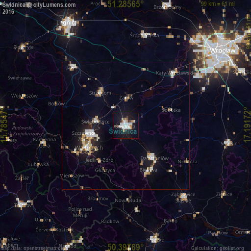
Analysis of Świdnica night lights 2016
Square area 10x10 km:
 6.58%
6.58%90-99
7.42%80-89
0%70-79
2.66%60-69
1.96%50-59
1.12%40-49
2.1%30-39
0.84%20-29
2.66%10-19
35.15%0-9
39.5%Square area 50x50 km:
0.95%90-99
1.33%80-89
0.6%70-79
0.59%60-69
0.72%50-59
0.6%40-49
0.73%30-39
0.67%20-29
1.3%10-19
5.04%0-9
87.47%Clear (daylight) street map image can be seen on geolist.org.
Map coordinates:
51° 17' 8.3" North, 15° 47' 7.7" East
50° 50' 37.6" North, 16° 29' 18.9" East
50° 23' 51.7" North, 17° 11' 30.2" East
Some cities around Świdnica sort by population:
• Wałbrzych
16.5 km =10.3 mi,  240°
240°
• Świebodzice
12 km =7.5 mi,  278°
278°
• Strzegom
16.4 km =10.2 mi,  323°
323°
• Pieszyce
16 km =9.9 mi,  155°
155°
• Żarów
10.8 km =6.7 mi,  2°
2°
• Szczawno-Zdrój
16.9 km =10.5 mi,  254°
254°
• Jaworzyna Śląska
8.7 km =5.4 mi,  333°
333°
• Jedlina-Zdrój
17 km =10.6 mi,  215°
215°
3084093 (p: 60,351)
Sources (retrieved 2019-11-25):
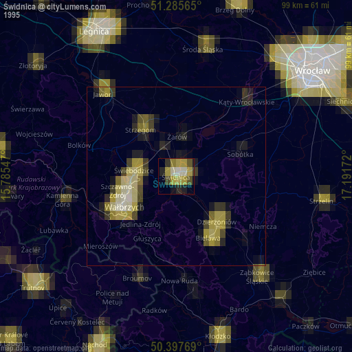
» NASA, Earths city lights 1995
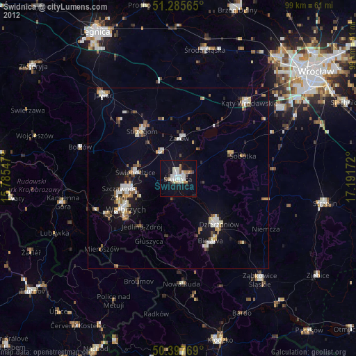
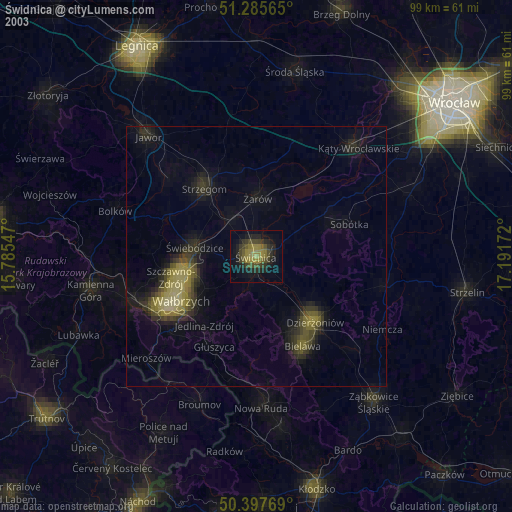
» NASA city lights 2003
» Earth at Night: Flat Maps 2012, 2016