Świebodzice night lights from space
Night Light of Świebodzice (Lower Silesia) from space (Poland) Src. Average luminocity for 10x10km area is 20.1723% and for 50x50km: 6.0784%.
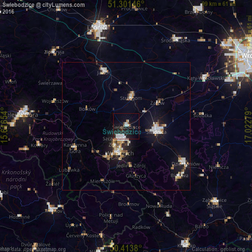
Analysis of Świebodzice night lights 2016
Square area 10x10 km:
 4.62%
4.62%90-99
5.74%80-89
0.28%70-79
0%60-69
1.12%50-59
0.84%40-49
1.4%30-39
2.1%20-29
8.54%10-19
22.55%0-9
52.8%Square area 50x50 km:
0.89%90-99
1.24%80-89
0.56%70-79
0.55%60-69
0.69%50-59
0.57%40-49
0.68%30-39
0.62%20-29
1.24%10-19
5.02%0-9
87.94%Clear (daylight) street map image can be seen on geolist.org.
Map coordinates:
51° 18' 5.3" North, 15° 36' 59.5" East
50° 51' 35.1" North, 16° 19' 10.8" East
50° 24' 49.7" North, 17° 1' 22" East
Some cities around Świebodzice sort by population:
• Wałbrzych
10.1 km =6.3 mi,  194°
194°
• Świdnica
12 km =7.5 mi,  98°
98°
• Strzegom
11.6 km =7.2 mi,  10°
10°
• Boguszów-Gorce
14.2 km =8.8 mi,  214°
214°
• Żarów
15.2 km =9.4 mi,  53°
53°
• Szczawno-Zdrój
7.7 km =4.8 mi,  215°
215°
• Jaworzyna Śląska
9.9 km =6.2 mi, 52°
• Jedlina-Zdrój
15.6 km =9.7 mi,  173°
173°
3084084 (p: 23,228)
Sources (retrieved 2019-11-25):
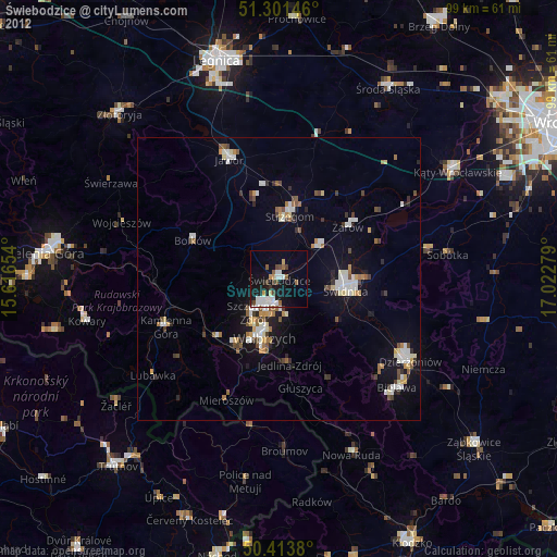
» Earth at Night: Flat Maps 2012, 2016