Reszel night lights from space
Night Light of Reszel (Warmia-Masuria) from space (Poland) Src. Average luminocity for 10x10km area is 0.8939% and for 50x50km: 1.4452%.
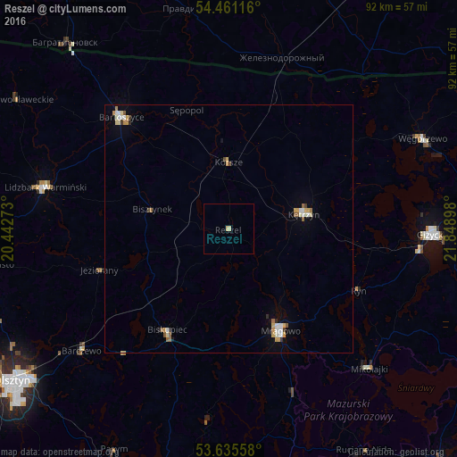
Analysis of Reszel night lights 2016
Square area 10x10 km:
 0%
0%90-99
0.51%80-89
0.51%70-79
0%60-69
0%50-59
0%40-49
0%30-39
0%20-29
0%10-19
0%0-9
98.99%Square area 50x50 km:
0.19%90-99
0.28%80-89
0.21%70-79
0.29%60-69
0.11%50-59
0.17%40-49
0.1%30-39
0.1%20-29
0.1%10-19
0.16%0-9
98.3%Clear (daylight) street map image can be seen on geolist.org.
Map coordinates:
54° 27' 40.2" North, 20° 26' 33.8" East
54° 3' 1.5" North, 21° 8' 45.1" East
53° 38' 8.1" North, 21° 50' 56.3" East
Some cities around Reszel sort by population:
• Giżycko
40.4 km =25.1 mi,  91°
91°
• Gierłoż
23.1 km =14.4 mi,  81°
81°
• Kętrzyn
15.3 km =9.5 mi, 78°
• Bartoszyce
31.5 km =19.6 mi,  315°
315°
• Mrągowo
23.2 km =14.4 mi,  153°
153°
• Lidzbark Warmiński
37.9 km =23.5 mi,  282°
282°
• Biskupiec
24.1 km =15 mi,  210°
210°
• Barczewo
38.5 km =23.9 mi,  230°
230°
760488 (p: 5,226)
Sources (retrieved 2019-11-25):
» Earth at Night: Flat Maps 2012, 2016