Mrągowo night lights from space
Night Light of Mrągowo (Warmia-Masuria) from space (Poland) Src. Average luminocity for 10x10km area is 11.873% and for 50x50km: 1.0647%.
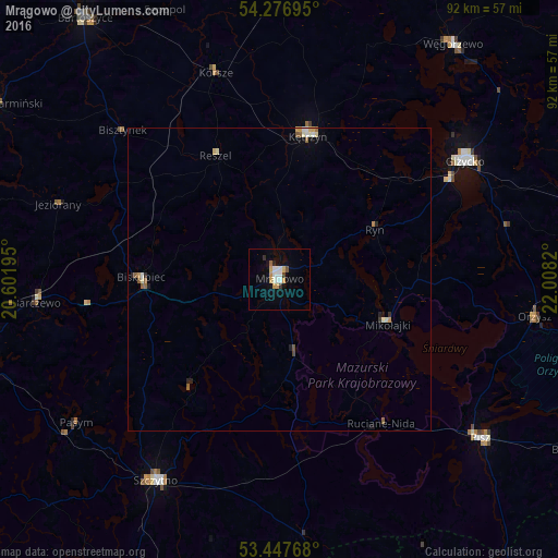
Analysis of Mrągowo night lights 2016
Square area 10x10 km:
 2.12%
2.12%90-99
2.65%80-89
0.93%70-79
2.78%60-69
0.53%50-59
0.26%40-49
0.66%30-39
0.93%20-29
0.79%10-19
3.04%0-9
85.32%Square area 50x50 km:
0.12%90-99
0.25%80-89
0.11%70-79
0.18%60-69
0.06%50-59
0.19%40-49
0.06%30-39
0.06%20-29
0.18%10-19
0.21%0-9
98.58%Clear (daylight) street map image can be seen on geolist.org.
Map coordinates:
54° 16' 37" North, 20° 36' 7" East
53° 51' 51.7" North, 21° 18' 18.3" East
53° 26' 51.6" North, 22° 0' 29.5" East
Some cities around Mrągowo sort by population:
• Giżycko
35.7 km =22.2 mi,  57°
57°
• Gierłoż
27.1 km =16.8 mi,  27°
27°
• Kętrzyn
24.1 km =15 mi,  11°
11°
• Szczytno
39.5 km =24.5 mi,  211°
211°
• Pisz
42.5 km =26.4 mi,  128°
128°
• Biskupiec
22.8 km =14.2 mi,  270°
270°
• Barczewo
40.4 km =25.1 mi,  264°
264°
• Reszel
23.2 km =14.4 mi,  333°
333°
764312 (p: 21,965)
Sources (retrieved 2019-11-25):
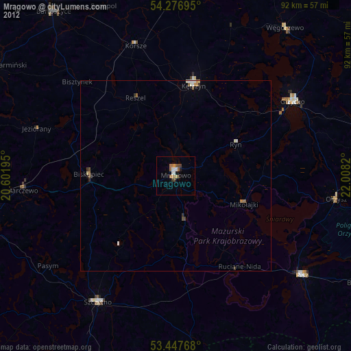
» Earth at Night: Flat Maps 2012, 2016