Lębork night lights from space
Night Light of Lębork (Pomerania) from space (Poland) Src. Average luminocity for 10x10km area is 17.5299% and for 50x50km: 1.6374%.
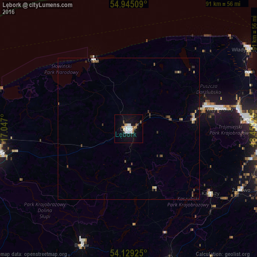
Analysis of Lębork night lights 2016
Square area 10x10 km:
 5.98%
5.98%90-99
2.15%80-89
1.44%70-79
0.6%60-69
1.79%50-59
1.91%40-49
0.96%30-39
0%20-29
0.48%10-19
19.74%0-9
64.95%Square area 50x50 km:
0.3%90-99
0.18%80-89
0.22%70-79
0.08%60-69
0.1%50-59
0.35%40-49
0.35%30-39
0.19%20-29
0.1%10-19
0.97%0-9
97.16%Clear (daylight) street map image can be seen on geolist.org.
Map coordinates:
54° 56' 42.3" North, 17° 2' 49.2" East
54° 32' 21.2" North, 17° 45' 0.4" East
54° 7' 45.3" North, 18° 27' 11.7" East
Some cities around Lębork sort by population:
• Wejherowo
32.2 km =20 mi,  76°
76°
• Rumia
41.3 km =25.7 mi,  85°
85°
• Reda
39.2 km =24.4 mi, 79°
• Kartuzy
36.8 km =22.9 mi,  128°
128°
• Sierakowice
23.4 km =14.5 mi,  156°
156°
• Bolszewo
28.8 km =17.9 mi,  72°
72°
• Luzino
23.3 km =14.5 mi, 82°
• Gościcino
27.1 km =16.8 mi, 74°
3093739 (p: 35,161)
Sources (retrieved 2019-11-25):
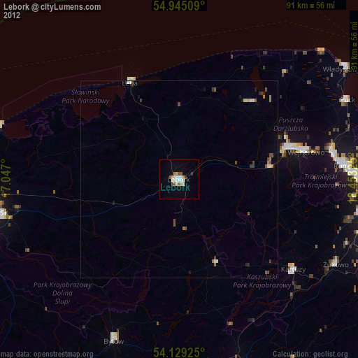
» Earth at Night: Flat Maps 2012, 2016