Wieluń night lights from space
Night Light of Wieluń (Łódź Voivodeship) from space (Poland) Src. Average luminocity for 10x10km area is 12.7563% and for 50x50km: 1.1011%.
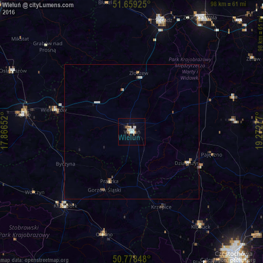
Analysis of Wieluń night lights 2016
Square area 10x10 km:
 2.94%
2.94%90-99
2.1%80-89
1.26%70-79
1.4%60-69
0.98%50-59
0.84%40-49
1.12%30-39
1.12%20-29
1.12%10-19
3.36%0-9
83.75%Square area 50x50 km:
0.24%90-99
0.17%80-89
0.09%70-79
0.11%60-69
0.11%50-59
0.1%40-49
0.15%30-39
0.1%20-29
0.17%10-19
0.18%0-9
98.57%Clear (daylight) street map image can be seen on geolist.org.
Map coordinates:
51° 39' 33.3" North, 17° 51' 59.5" East
51° 13' 15.5" North, 18° 34' 10.7" East
50° 46' 42.5" North, 19° 16' 22" East
Some cities around Wieluń sort by population:
• Kluczbork
36.9 km =22.9 mi,  221°
221°
• Kępno
40.9 km =25.4 mi,  278°
278°
• Olesno
39.6 km =24.6 mi,  195°
195°
• Wieruszów
30 km =18.6 mi,  285°
285°
• Praszka
20.3 km =12.6 mi, 203°
• Pajęczno
30.9 km =19.2 mi,  105°
105°
• Działoszyn
23.6 km =14.7 mi,  119°
119°
• Wołczyn
42.7 km =26.5 mi,  238°
238°
3082197 (p: 24,384)
Sources (retrieved 2019-11-25):
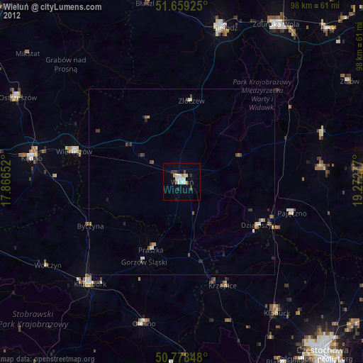
» Earth at Night: Flat Maps 2012, 2016