Rzeszów night lights from space
Night Light of Rzeszów (Subcarpathia) from space (Poland) Src. Average luminocity for 10x10km area is 69.6709% and for 50x50km: 5.6971%.
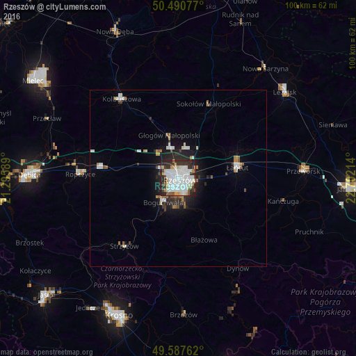
Analysis of Rzeszów night lights 2016
Square area 10x10 km:
 24.93%
90-99
23.53%80-89
4.76%70-79
4.76%60-69
2.8%50-59
4.2%40-49
4.06%30-39
9.66%20-29
17.51%10-19
3.78%0-9
0%Square area 50x50 km:
1.3%90-99
1.38%80-89
0.37%70-79
0.41%60-69
0.55%50-59
0.46%40-49
0.43%30-39
0.68%20-29
1.85%10-19
2.96%0-9
89.62%Clear (daylight) street map image can be seen on geolist.org.
Map coordinates:
50° 29' 26.8" North, 21° 17' 45.2" East
50° 2' 28.8" North, 21° 59' 56.4" East
49° 35' 15.4" North, 22° 42' 7.7" East
Some cities around Rzeszów sort by population:
• Łańcut
16.7 km =10.4 mi,  79°
79°
• Kolbuszowa
27.6 km =17.1 mi,  324°
324°
• Strzyżów
24 km =14.9 mi,  217°
217°
• Sędziszów Małopolski
21.6 km =13.4 mi,  278°
278°
• Rakszawa
21.7 km =13.5 mi,  52°
52°
• Boguchwała
7.4 km =4.6 mi,  211°
211°
• Głogów Małopolski
12.5 km =7.8 mi,  348°
348°
• Żołynia
25.8 km =16 mi,  58°
58°
759734 (p: 158,382)
Sources (retrieved 2019-11-25):
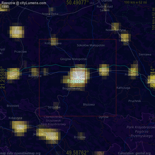
» NASA, Earths city lights 1995
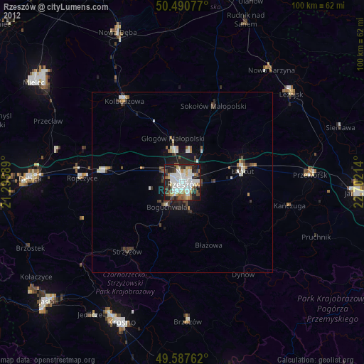
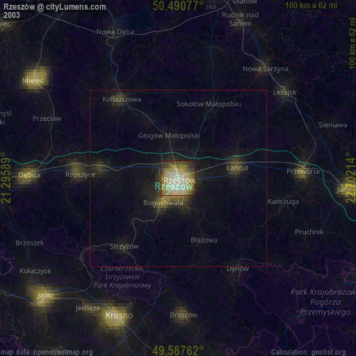
» NASA city lights 2003
» Earth at Night: Flat Maps 2012, 2016