Ruda Śląska night lights from space
Night Light of Ruda Śląska (Silesia) from space (Poland) Src. Average luminocity for 10x10km area is 70.9666% and for 50x50km: 42.2068%.
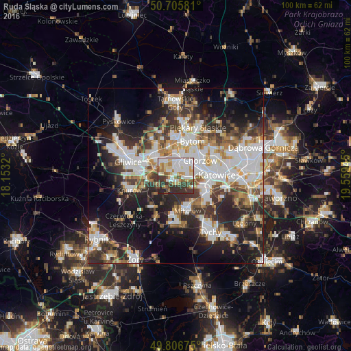
Analysis of Ruda Śląska night lights 2016
Square area 10x10 km:
 20.86%
90-99
18.98%80-89
9.49%70-79
6.55%60-69
8.42%50-59
5.61%40-49
5.88%30-39
15.51%20-29
8.42%10-19
0.27%0-9
0%Square area 50x50 km:
10.46%90-99
10.26%80-89
3.21%70-79
4.3%60-69
4.72%50-59
4.59%40-49
5.35%30-39
6.71%20-29
11.16%10-19
14.74%0-9
24.5%Clear (daylight) street map image can be seen on geolist.org.
Map coordinates:
50° 42' 20.9" North, 18° 9' 11.5" East
50° 15' 30.2" North, 18° 51' 22.8" East
49° 48' 24.3" North, 19° 33' 34" East
Some cities around Ruda Śląska sort by population:
• Katowice
12.2 km =7.6 mi,  89°
89°
• Zabrze
8.9 km =5.5 mi,  325°
325°
• Bytom
11.3 km =7 mi,  28°
28°
• Chorzów
9.9 km =6.2 mi,  57°
57°
• Świętochłowice
6 km =3.7 mi,  45°
45°
• Mikołów
10.3 km =6.4 mi,  160°
160°
• Łaziska Górne
12.1 km =7.5 mi,  184°
184°
• Ornontowice
10.2 km =6.3 mi,  225°
225°
3086800 (p: 146,189)
Sources (retrieved 2019-11-25):
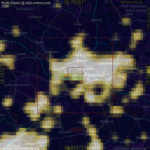
» NASA, Earths city lights 1995
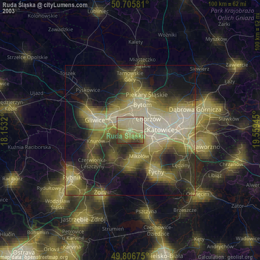
» NASA city lights 2003
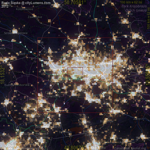
» Earth at Night: Flat Maps 2012, 2016