Świętochłowice night lights from space
Night Light of Świętochłowice (Silesia) from space (Poland) Src. Average luminocity for 10x10km area is 92.8235% and for 50x50km: 42.6883%.
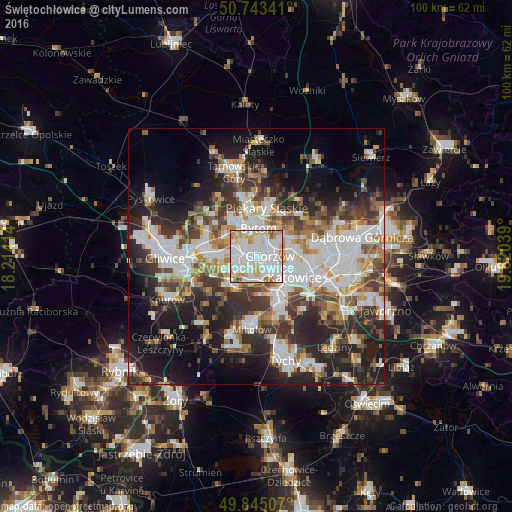
Analysis of Świętochłowice night lights 2016
Square area 10x10 km:
 42.51%
90-99
33.02%80-89
10.29%70-79
7.22%60-69
4.28%50-59
2.14%40-49
0.53%30-39
0%20-29
0%10-19
0%0-9
0%Square area 50x50 km:
10.46%90-99
10.3%80-89
3.26%70-79
4.37%60-69
4.89%50-59
4.73%40-49
5.69%30-39
7.1%20-29
10.89%10-19
14.55%0-9
23.76%Clear (daylight) street map image can be seen on geolist.org.
Map coordinates:
50° 44' 36.3" North, 18° 12' 50.9" East
50° 17' 46.9" North, 18° 55' 2.1" East
49° 50' 42.3" North, 19° 37' 13.4" East
Some cities around Świętochłowice sort by population:
• Katowice
8.9 km =5.5 mi,  118°
118°
• Zabrze
9.9 km =6.2 mi,  288°
288°
• Bytom
5.8 km =3.6 mi,  10°
10°
• Ruda Śląska
6 km =3.7 mi,  225°
225°
• Chorzów
4.2 km =2.6 mi,  75°
75°
• Siemianowice Śląskie
8.7 km =5.4 mi,  66°
66°
• Piekary Śląskie
9.3 km =5.8 mi,  4°
4°
• Wojkowice
11.4 km =7.1 mi,  47°
47°
3083988 (p: 55,600)
Sources (retrieved 2019-11-25):
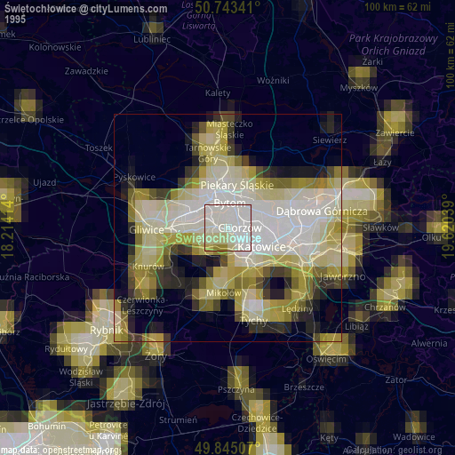
» NASA, Earths city lights 1995
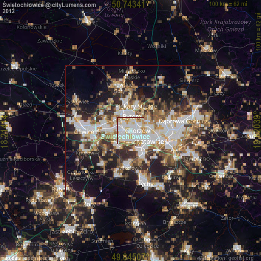
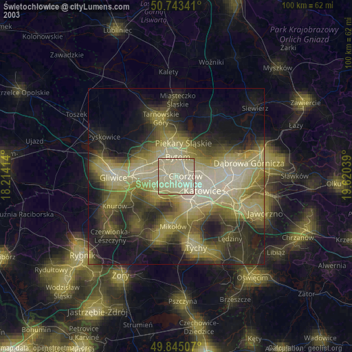
» NASA city lights 2003
» Earth at Night: Flat Maps 2012, 2016