Dęblin night lights from space
Night Light of Dęblin (Lublin) from space (Poland) Src. Average luminocity for 10x10km area is 21.7995% and for 50x50km: 3.7754%.
Analysis of Dęblin night lights 2016
Square area 10x10 km:
 2.81%
2.81%90-99
4.28%80-89
1.47%70-79
2.81%60-69
2.81%50-59
3.34%40-49
1.34%30-39
2.01%20-29
0%10-19
34.63%0-9
44.52%Square area 50x50 km:
0.69%90-99
0.67%80-89
0.3%70-79
0.32%60-69
0.43%50-59
0.37%40-49
0.42%30-39
0.23%20-29
0.26%10-19
3.58%0-9
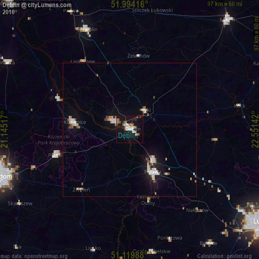
92.75%Clear (daylight) street map image can be seen on geolist.org.
Map coordinates:
51° 59' 39" North, 21° 8' 42.6" East
51° 33' 32.8" North, 21° 50' 53.8" East
51° 7' 11.6" North, 22° 33' 5.1" East
Some cities around Dęblin sort by population:
• Puławy
17.9 km =11.1 mi,  152°
152°
• Pionki
29.1 km =18.1 mi,  251°
251°
• Kozienice
20.9 km =13 mi,  277°
277°
• Garwolin
40.9 km =25.4 mi,  336°
336°
• Poniatowa
46.5 km =28.9 mi,  155°
155°
• Ryki
9.4 km =5.8 mi,  38°
38°
• Opole Lubelskie
46.5 km =28.9 mi,  169°
169°
• Zwoleń
29 km =18 mi,  218°
218°
773357 (p: 17,775)
Sources (retrieved 2019-11-25):
» Earth at Night: Flat Maps 2012, 2016