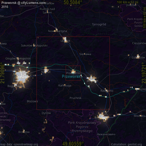
Przeworsk night lights from space
Night Light of Przeworsk (Subcarpathia) from space (Poland) Src. Average luminocity for 10x10km area is 6.0658% and for 50x50km: 2.3252%.
Analysis of Przeworsk night lights 2016
Square area 10x10 km:
 0.28%
0.28%90-99
0.84%80-89
0.56%70-79
1.96%60-69
0.98%50-59
0.98%40-49
1.12%30-39
0%20-29
0%10-19
1.4%0-9
91.88%Square area 50x50 km:
0.35%90-99
0.49%80-89
0.21%70-79
0.19%60-69
0.28%50-59
0.28%40-49
0.29%30-39
0.13%20-29
0.07%10-19
1.23%0-9
96.48%Clear (daylight) street map image can be seen on geolist.org.
Map coordinates:
50° 30' 30.2" North, 21° 47' 27.5" East
50° 3' 32.8" North, 22° 29' 38.7" East
49° 36' 20.1" North, 23° 11' 50" East
Some cities around Przeworsk sort by population:
• Jarosław
14 km =8.7 mi,  109°
109°
• Łańcut
18.9 km =11.7 mi,  273°
273°
• Leżajsk
23.2 km =14.4 mi,  346°
346°
• Rakszawa
21.4 km =13.3 mi,  301°
301°
• Nowa Sarzyna
31 km =19.3 mi,  339°
339°
• Dynów
32.9 km =20.4 mi,  214°
214°
• Radymno
26.6 km =16.5 mi,  117°
117°
• Żołynia
17.5 km =10.9 mi,  310°
310°
761131 (p: 15,805)
Sources (retrieved 2019-11-25):
» Earth at Night: Flat Maps 2012, 2016