Jarosław night lights from space
Night Light of Jarosław (Subcarpathia) from space (Poland) Src. Average luminocity for 10x10km area is 23.3123% and for 50x50km: 2.1483%.
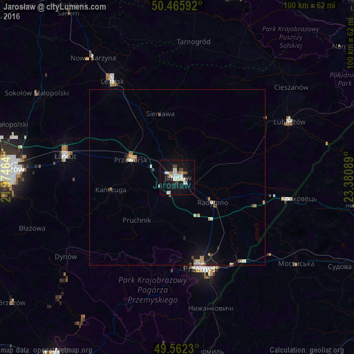
Analysis of Jarosław night lights 2016
Square area 10x10 km:
 5.18%
5.18%90-99
5.6%80-89
2.8%70-79
0.42%60-69
1.96%50-59
1.12%40-49
2.8%30-39
1.68%20-29
0.42%10-19
26.75%0-9
51.26%Square area 50x50 km:
0.33%90-99
0.37%80-89
0.24%70-79
0.2%60-69
0.22%50-59
0.21%40-49
0.28%30-39
0.07%20-29
0.12%10-19
1.91%0-9
96.04%Clear (daylight) street map image can be seen on geolist.org.
Map coordinates:
50° 27' 57.3" North, 21° 58' 28.7" East
50° 0' 58.4" North, 22° 40' 39.9" East
49° 33' 44.3" North, 23° 22' 51.2" East
Some cities around Jarosław sort by population:
• Przemyśl
26.5 km =16.5 mi,  165°
165°
• Łańcut
32.6 km =20.3 mi,  280°
280°
• Przeworsk
14 km =8.7 mi,  289°
289°
• Leżajsk
33 km =20.5 mi,  326°
326°
• Rakszawa
35.2 km =21.9 mi,  297°
297°
• Radymno
13 km =8.1 mi,  126°
126°
• Oleszyce
30.5 km =19 mi,  56°
56°
• Żołynia
30.9 km =19.2 mi, 301°
770380 (p: 40,134)
Sources (retrieved 2019-11-25):
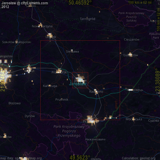
» Earth at Night: Flat Maps 2012, 2016