Oświęcim night lights from space
Night Light of Oświęcim (Lesser Poland) from space (Poland) Src. Average luminocity for 10x10km area is 35.944% and for 50x50km: 25.1984%.
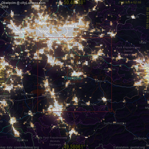
Analysis of Oświęcim night lights 2016
Square area 10x10 km:
 6.44%
6.44%90-99
8.4%80-89
1.68%70-79
2.52%60-69
3.78%50-59
1.96%40-49
3.64%30-39
7.42%20-29
15.41%10-19
45.38%0-9
3.36%Square area 50x50 km:
4.53%90-99
4.93%80-89
1.71%70-79
2.31%60-69
2.92%50-59
3.36%40-49
4.13%30-39
4.84%20-29
8.32%10-19
15.89%0-9
47.06%Clear (daylight) street map image can be seen on geolist.org.
Map coordinates:
50° 29' 2" North, 18° 30' 26.1" East
50° 2' 3.7" North, 19° 12' 37.3" East
49° 34' 50.2" North, 19° 54' 48.6" East
Some cities around Oświęcim sort by population:
• Bieruń
10.4 km =6.5 mi,  306°
306°
• Libiąż
10.8 km =6.7 mi,  44°
44°
• Brzeszcze
7.2 km =4.5 mi,  215°
215°
• Chełmek
7.9 km =4.9 mi,  19°
19°
• Wola
6.5 km =4 mi,  253°
253°
• Imielin
12.5 km =7.8 mi,  351°
351°
• Osiek
10.1 km =6.3 mi,  157°
157°
• Chełm Śląski
8.3 km =5.2 mi, 352°
3089658 (p: 41,143)
Sources (retrieved 2019-11-25):
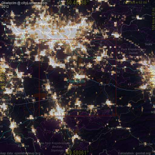
» Earth at Night: Flat Maps 2012, 2016