Bieruń night lights from space
Night Light of Bieruń (Silesia) from space (Poland) Src. Average luminocity for 10x10km area is 35.8529% and for 50x50km: 32.4741%.
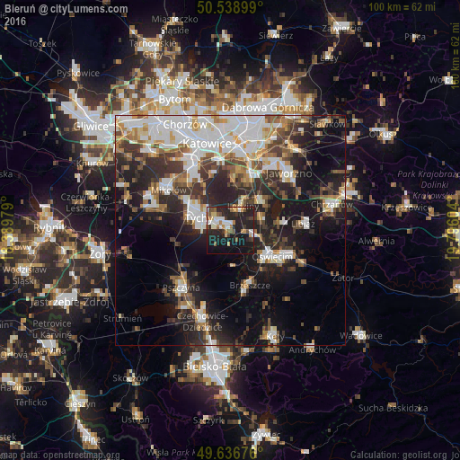
Analysis of Bieruń night lights 2016
Square area 10x10 km:
100  6.02%
6.02%
90-99 5.74%
80-89 2.8%
70-79 3.92%
60-69 4.2%
50-59 5.04%
40-49 3.78%
30-39 3.78%
20-29 21.57%
10-19 35.85%
0-9 7.28%
6.02%90-99
5.74%80-89
2.8%70-79
3.92%60-69
4.2%50-59
5.04%40-49
3.78%30-39
3.78%20-29
21.57%10-19
35.85%0-9
7.28%Square area 50x50 km:
100 7.53%
90-99 7.05%
80-89 2.35%
70-79 3.01%
60-69 3.76%
50-59 3.84%
40-49 4.16%
30-39 5.51%
20-29 9.41%
10-19 16.12%
0-9 37.27%
7.53%90-99
7.05%80-89
2.35%70-79
3.01%60-69
3.76%50-59
3.84%40-49
4.16%30-39
5.51%20-29
9.41%10-19
16.12%0-9
37.27%Clear (daylight) street map image can be seen on geolist.org.
Map coordinates:
50° 32' 20.4" North, 18° 23' 23.2" East
50° 5' 24" North, 19° 5' 34.5" East
49° 38' 12.3" North, 19° 47' 45.7" East
Some cities around Bieruń sort by population:
• Tychy
10.4 km =6.5 mi,  300°
300°
• Oświęcim
10.4 km =6.5 mi,  126°
126°
• Lędziny
6.5 km =4 mi,  25°
25°
• Brzeszcze
12.7 km =7.9 mi,  160°
160°
• Chełmek
11.1 km =6.9 mi,  83°
83°
• Wola
8.4 km =5.2 mi, 164°
• Imielin
9 km =5.6 mi,  47°
47°
• Chełm Śląski
7.6 km =4.7 mi,  74°
74°
3103365 (p: 19,659)
Sources (retrieved 2019-11-25):
» Earth at Night: Flat Maps 2012, 2016