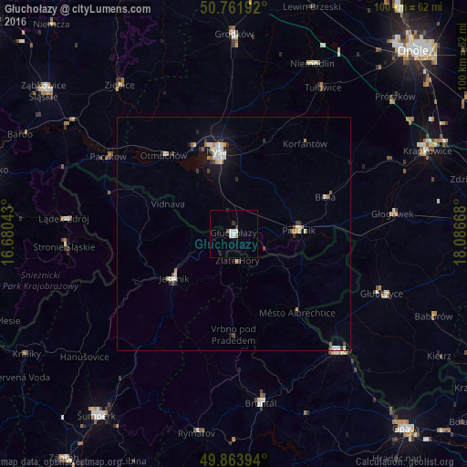
Głuchołazy night lights from space
Night Light of Głuchołazy (Opole Voivodeship) from space (Poland) Src. Average luminocity for 10x10km area is 4.6123% and for 50x50km: 1.9473%.
Analysis of Głuchołazy night lights 2016
Square area 10x10 km:
 0.94%
0.94%90-99
1.74%80-89
0%70-79
0.53%60-69
0%50-59
0.53%40-49
0%30-39
1.07%20-29
0.27%10-19
0%0-9
94.92%Square area 50x50 km:
0.33%90-99
0.46%80-89
0.14%70-79
0.23%60-69
0.1%50-59
0.19%40-49
0.15%30-39
0.33%20-29
0.23%10-19
1.11%0-9
96.74%Clear (daylight) street map image can be seen on geolist.org.
Map coordinates:
50° 45' 42.9" North, 16° 40' 49.5" East
50° 18' 54.2" North, 17° 23' 0.8" East
49° 51' 50.2" North, 18° 5' 12" East
Some cities around Głuchołazy sort by population:
• Nysa
18 km =11.2 mi,  348°
348°
• Krnov, CZ
33.9 km =21.1 mi,  137°
137°
• Prudnik
13.6 km =8.5 mi,  87°
87°
• Głubczyce
34.1 km =21.2 mi,  111°
111°
• Jeseník, CZ
15.9 km =9.9 mi,  233°
233°
• Paczków
31.4 km =19.5 mi,  301°
301°
• Vrbno pod Pradědem, CZ
21.6 km =13.4 mi,  180°
180°
• Otmuchów
22.5 km =14 mi,  318°
318°
3099169 (p: 15,120)
Sources (retrieved 2019-11-25):
» Earth at Night: Flat Maps 2012, 2016