Nowy Targ night lights from space
Night Light of Nowy Targ (Lesser Poland) from space (Poland) Src. Average luminocity for 10x10km area is 9.6359% and for 50x50km: 1.5257%.
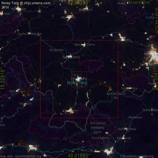
Analysis of Nowy Targ night lights 2016
Square area 10x10 km:
 1.4%
1.4%90-99
2.1%80-89
0.7%70-79
0.84%60-69
0.56%50-59
1.96%40-49
0.84%30-39
2.38%20-29
0.7%10-19
0.28%0-9
88.24%Square area 50x50 km:
0.16%90-99
0.18%80-89
0.17%70-79
0.08%60-69
0.26%50-59
0.44%40-49
0.19%30-39
0.33%20-29
0.19%10-19
0.21%0-9
97.78%Clear (daylight) street map image can be seen on geolist.org.
Map coordinates:
49° 55' 57.2" North, 19° 19' 45" East
49° 28' 40.2" North, 20° 1' 56.2" East
49° 1' 7.9" North, 20° 44' 7.5" East
Some cities around Nowy Targ sort by population:
• Zakopane
20.8 km =12.9 mi,  196°
196°
• Limanowa
37.8 km =23.5 mi,  47°
47°
• Rabka-Zdrój
15.3 km =9.5 mi,  341°
341°
• Tvrdošín, SK
37.8 km =23.5 mi,  245°
245°
• Mszana Dolna
22.1 km =13.7 mi,  8°
8°
• Trstená, SK
33 km =20.5 mi, 246°
• Szczawnica
33.3 km =20.7 mi,  100°
100°
• Jordanów
24 km =14.9 mi,  322°
322°
763523 (p: 33,763)
Sources (retrieved 2019-11-25):
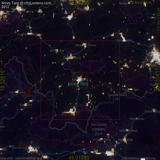
» Earth at Night: Flat Maps 2012, 2016