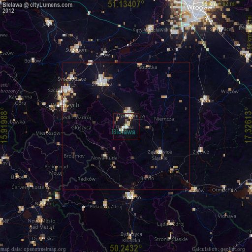
Bielawa night lights from space
Night Light of Bielawa (Lower Silesia) from space (Poland) Src. Average luminocity for 10x10km area is 17.3142% and for 50x50km: 5.0485%.
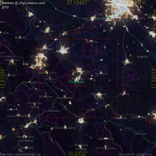
Analysis of Bielawa night lights 2016
Square area 10x10 km:
 2.27%
2.27%90-99
3.48%80-89
2.01%70-79
1.07%60-69
3.48%50-59
1.74%40-49
0.4%30-39
1.07%20-29
2.54%10-19
18.18%0-9
63.77%Square area 50x50 km:
0.75%90-99
1.16%80-89
0.39%70-79
0.35%60-69
0.65%50-59
0.46%40-49
0.41%30-39
0.59%20-29
1.02%10-19
3.96%0-9
90.25%Clear (daylight) street map image can be seen on geolist.org.
Map coordinates:
51° 8' 2.7" North, 15° 55' 11.6" East
50° 41' 26.7" North, 16° 37' 22.8" East
50° 14' 35.5" North, 17° 19' 34.1" East
Some cities around Bielawa sort by population:
• Świdnica
19.5 km =12.1 mi,  330°
330°
• Dzierżoniów
4.6 km =2.9 mi,  25°
25°
• Nowa Ruda
15 km =9.3 mi,  214°
214°
• Ząbkowice Śląskie
17.5 km =10.9 mi,  130°
130°
• Pieszyce
3.8 km =2.4 mi,  310°
310°
• Głuszyca
17.7 km =11 mi,  268°
268°
• Piława Górna
8.5 km =5.3 mi,  95°
95°
• Jedlina-Zdrój
19.7 km =12.2 mi,  279°
279°
3103476 (p: 30,824)
Sources (retrieved 2019-11-25):
» Earth at Night: Flat Maps 2012, 2016