Namysłów night lights from space
Night Light of Namysłów (Opole Voivodeship) from space (Poland) Src. Average luminocity for 10x10km area is 4.3516% and for 50x50km: 1.7969%.
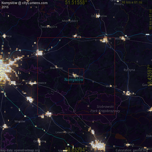
Analysis of Namysłów night lights 2016
Square area 10x10 km:
 0%
0%90-99
0.94%80-89
0.53%70-79
0.53%60-69
0.67%50-59
1.2%40-49
0.94%30-39
1.07%20-29
0%10-19
0.53%0-9
93.58%Square area 50x50 km:
0.3%90-99
0.32%80-89
0.19%70-79
0.18%60-69
0.12%50-59
0.2%40-49
0.18%30-39
0.24%20-29
0.29%10-19
0.99%0-9
96.99%Clear (daylight) street map image can be seen on geolist.org.
Map coordinates:
51° 30' 56.1" North, 17° 1' 11" East
51° 4' 33.3" North, 17° 43' 22.2" East
50° 37' 55.3" North, 18° 25' 33.5" East
Some cities around Namysłów sort by population:
• Brzeg
29.9 km =18.6 mi,  216°
216°
• Oleśnica
27.8 km =17.3 mi,  303°
303°
• Jelcz Laskowice
29 km =18 mi,  257°
257°
• Jelcz
28.7 km =17.8 mi, 257°
• Kępno
29.2 km =18.1 mi,  39°
39°
• Syców
25.8 km =16 mi,  359°
359°
• Wołczyn
23.7 km =14.7 mi,  105°
105°
• Bierutów
13.5 km =8.4 mi,  293°
293°
3091141 (p: 16,376)
Sources (retrieved 2019-11-25):
» Earth at Night: Flat Maps 2012, 2016