Hajnówka night lights from space
Night Light of Hajnówka (Podlasie) from space (Poland) Src. Average luminocity for 10x10km area is 5.0114% and for 50x50km: 0.3667%.
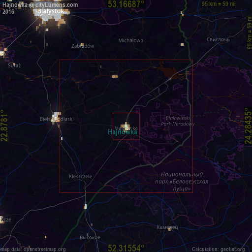
Analysis of Hajnówka night lights 2016
Square area 10x10 km:
 0%
0%90-99
1.01%80-89
0.51%70-79
0.63%60-69
1.26%50-59
1.14%40-49
1.01%30-39
1.01%20-29
0%10-19
1.01%0-9
92.42%Square area 50x50 km:
0.01%90-99
0.05%80-89
0.02%70-79
0.05%60-69
0.11%50-59
0.06%40-49
0.05%30-39
0.04%20-29
0.03%10-19
0.14%0-9
99.44%Clear (daylight) street map image can be seen on geolist.org.
Map coordinates:
53° 10' 0.7" North, 22° 52' 41.2" East
52° 44' 35.8" North, 23° 34' 52.4" East
52° 18' 55.9" North, 24° 17' 3.7" East
Some cities around Hajnówka sort by population:
• Białystok
51.6 km =32.1 mi,  327°
327°
• Bielsk Podlaski
26.7 km =16.6 mi,  275°
275°
• Łapy
54.3 km =33.7 mi,  300°
300°
• Wasilków
56.5 km =35.1 mi, 333°
• Kamyanyets, BY
41.2 km =25.6 mi,  157°
157°
• Svislach, BY
47.5 km =29.5 mi,  46°
46°
• Vyalikaya Byerastavitsa, BY
58.2 km =36.2 mi,  30°
30°
• Grudki
39.5 km =24.5 mi,  8°
8°
771158 (p: 22,157)
Sources (retrieved 2019-11-25):
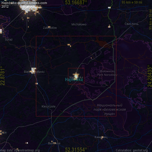
» Earth at Night: Flat Maps 2012, 2016