Bielsk Podlaski night lights from space
Night Light of Bielsk Podlaski (Podlasie) from space (Poland) Src. Average luminocity for 10x10km area is 12.6793% and for 50x50km: 0.8502%.
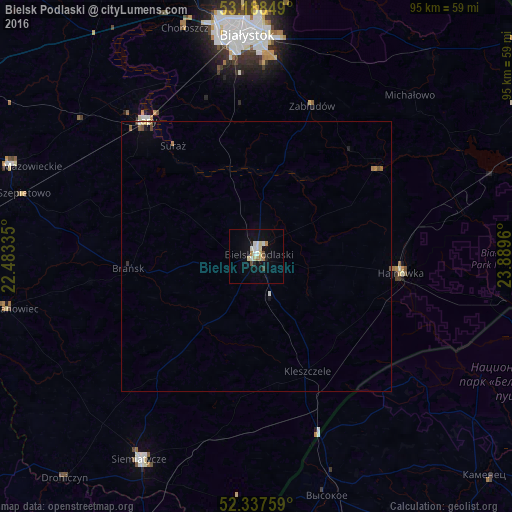
Analysis of Bielsk Podlaski night lights 2016
Square area 10x10 km:
 2.02%
2.02%90-99
2.53%80-89
2.53%70-79
0.76%60-69
1.77%50-59
0.25%40-49
0.76%30-39
0.51%20-29
1.14%10-19
5.05%0-9
82.7%Square area 50x50 km:
0.1%90-99
0.15%80-89
0.15%70-79
0.05%60-69
0.14%50-59
0.1%40-49
0.08%30-39
0.06%20-29
0.07%10-19
0.25%0-9
98.86%Clear (daylight) street map image can be seen on geolist.org.
Map coordinates:
53° 11' 18.6" North, 22° 29' 0.1" East
52° 45' 54.4" North, 23° 11' 11.3" East
52° 20' 15.3" North, 23° 53' 22.6" East
Some cities around Bielsk Podlaski sort by population:
• Białystok
41 km =25.5 mi,  357°
357°
• Hajnówka
26.7 km =16.6 mi,  95°
95°
• Łapy
32.3 km =20.1 mi,  321°
321°
• Siemiatycze
43.5 km =27 mi,  210°
210°
• Wasilków
48.3 km =30 mi,  1°
1°
• Wysokie Mazowieckie
48 km =29.8 mi,  290°
290°
• Grudki
48.9 km =30.4 mi,  41°
41°
• Choroszcz
44.1 km =27.4 mi,  342°
342°
775986 (p: 26,493)
Sources (retrieved 2019-11-25):
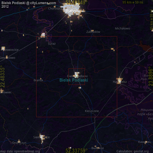
» Earth at Night: Flat Maps 2012, 2016