Gniew night lights from space
Night Light of Gniew (Pomerania) from space (Poland) Src. Average luminocity for 10x10km area is 2.2685% and for 50x50km: 3.6527%.
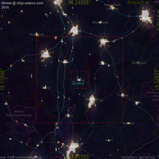
Analysis of Gniew night lights 2016
Square area 10x10 km:
 0.66%
0.66%90-99
0.4%80-89
0%70-79
0%60-69
0%50-59
0.53%40-49
0%30-39
1.19%20-29
0.4%10-19
1.06%0-9
95.77%Square area 50x50 km:
0.71%90-99
0.64%80-89
0.23%70-79
0.36%60-69
0.31%50-59
0.38%40-49
0.47%30-39
0.42%20-29
0.29%10-19
2.97%0-9
93.22%Clear (daylight) street map image can be seen on geolist.org.
Map coordinates:
54° 14' 56" North, 18° 7' 11.9" East
53° 50' 9.7" North, 18° 49' 23.2" East
53° 25' 8.6" North, 19° 31' 34.4" East
Some cities around Gniew sort by population:
• Tczew
28.7 km =17.8 mi,  354°
354°
• Starogard Gdański
24.1 km =15 mi,  306°
306°
• Malbork
25.9 km =16.1 mi,  30°
30°
• Kwidzyn
14.2 km =8.8 mi,  150°
150°
• Sztum
16.6 km =10.3 mi,  55°
55°
• Prabuty
26.7 km =16.6 mi,  109°
109°
• Pelplin
13.1 km =8.1 mi,  321°
321°
• Nowe
21.7 km =13.5 mi,  196°
196°
3099127 (p: 6,759)
Sources (retrieved 2019-11-25):
» Earth at Night: Flat Maps 2012, 2016