Vrbno pod Pradědem night lights from space
Night Light of Vrbno pod Pradědem (Moravskoslezský) from space (Czech Republic) Src. Average luminocity for 10x10km area is 0.3021% and for 50x50km: 1.2917%.
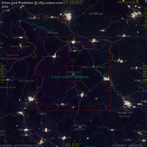
Analysis of Vrbno pod Pradědem night lights 2016
Square area 10x10 km:
 0%
0%90-99
0%80-89
0%70-79
0%60-69
0%50-59
0%40-49
0%30-39
0.53%20-29
0%10-19
0.53%0-9
98.93%Square area 50x50 km:
0.15%90-99
0.34%80-89
0.1%70-79
0.15%60-69
0.12%50-59
0.22%40-49
0.15%30-39
0.24%20-29
0.08%10-19
0.09%0-9
98.35%Clear (daylight) street map image can be seen on geolist.org.
Map coordinates:
50° 34' 10.7" North, 16° 40' 48.1" East
50° 7' 15.4" North, 17° 22' 59.4" East
49° 40' 4.8" North, 18° 5' 10.6" East
Some cities around Vrbno pod Pradědem sort by population:
• Šumperk
34.2 km =21.3 mi,  239°
239°
• Krnov
23.1 km =14.4 mi,  98°
98°
• Prudnik, PL
26.1 km =16.2 mi,  31°
31°
• Bruntál
15.8 km =9.8 mi,  158°
158°
• Głuchołazy, PL
21.6 km =13.4 mi,  0°
0°
• Głubczyce, PL
32.9 km =20.4 mi,  74°
74°
• Jeseník
17.5 km =10.9 mi,  313°
313°
• Rýmařov
22.5 km =14 mi,  200°
200°
3062446 (p: 6,072)
Sources (retrieved 2019-11-25):
» Earth at Night: Flat Maps 2012, 2016