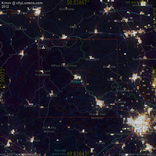
Krnov night lights from space
Night Light of Krnov (Moravskoslezský) from space (Czech Republic) Src. Average luminocity for 10x10km area is 8.535% and for 50x50km: 1.9476%.
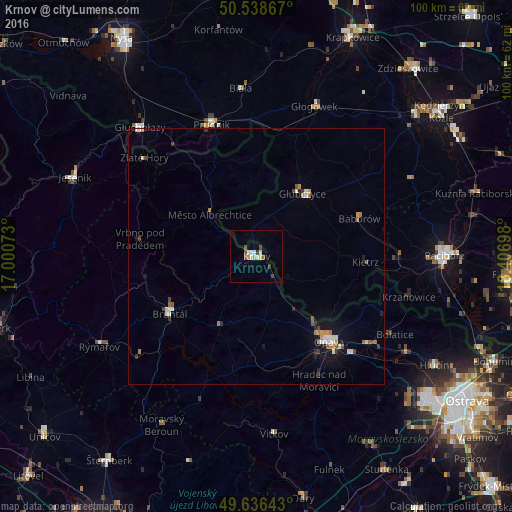
Analysis of Krnov night lights 2016
Square area 10x10 km:
 1.4%
1.4%90-99
1.96%80-89
0.56%70-79
1.12%60-69
0%50-59
1.96%40-49
0.7%30-39
1.82%20-29
0%10-19
0.14%0-9
90.34%Square area 50x50 km:
0.22%90-99
0.43%80-89
0.1%70-79
0.26%60-69
0.26%50-59
0.22%40-49
0.25%30-39
0.3%20-29
0.19%10-19
0.83%0-9
96.95%Clear (daylight) street map image can be seen on geolist.org.
Map coordinates:
50° 32' 19.2" North, 17° 0' 2.6" East
50° 5' 22.8" North, 17° 42' 13.9" East
49° 38' 11.1" North, 18° 24' 25.1" East
Some cities around Krnov sort by population:
• Opava
22 km =13.7 mi,  139°
139°
• Prudnik, PL
27.3 km =17 mi,  340°
340°
• Bruntál
20.5 km =12.7 mi,  236°
236°
• Głubczyce, PL
15.2 km =9.4 mi,  35°
35°
• Kravaře
27.7 km =17.2 mi,  129°
129°
• Kietrz, PL
21.5 km =13.4 mi,  92°
92°
• Vrbno pod Pradědem
23.1 km =14.4 mi,  278°
278°
• Hradec nad Moravici
27.4 km =17 mi,  152°
152°
3072656 (p: 25,547)
Sources (retrieved 2019-11-25):
» Earth at Night: Flat Maps 2012, 2016