Chełmno night lights from space
Night Light of Chełmno (Kujawsko-Pomorskie) from space (Poland) Src. Average luminocity for 10x10km area is 14.9365% and for 50x50km: 5.5252%.
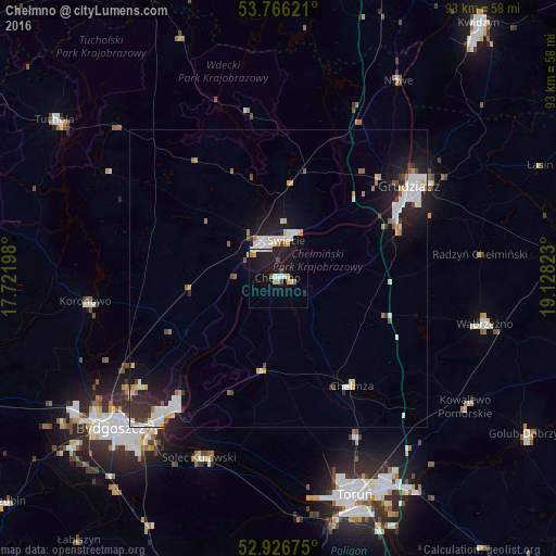
Analysis of Chełmno night lights 2016
Square area 10x10 km:
 1.72%
1.72%90-99
2.51%80-89
1.06%70-79
2.38%60-69
0.79%50-59
0.4%40-49
1.59%30-39
0.4%20-29
2.65%10-19
26.59%0-9
59.92%Square area 50x50 km:
1.13%90-99
1.23%80-89
0.5%70-79
0.51%60-69
0.36%50-59
0.4%40-49
0.49%30-39
0.46%20-29
1.37%10-19
4.79%0-9
88.76%Clear (daylight) street map image can be seen on geolist.org.
Map coordinates:
53° 45' 58.4" North, 17° 43' 19.1" East
53° 20' 54.8" North, 18° 25' 30.4" East
52° 55' 36.3" North, 19° 7' 41.6" East
Some cities around Chełmno sort by population:
• Bydgoszcz
37.4 km =23.2 mi,  227°
227°
• Grudziądz
26.5 km =16.5 mi,  55°
55°
• Fordon
28 km =17.4 mi,  217°
217°
• Świecie
6.9 km =4.3 mi,  12°
12°
• Solec Kujawski
32.3 km =20.1 mi,  204°
204°
• Wąbrzeźno
35.5 km =22.1 mi,  102°
102°
• Koronowo
32.6 km =20.3 mi,  263°
263°
• Nowe
38.9 km =24.2 mi,  30°
30°
3101795 (p: 20,576)
Sources (retrieved 2019-11-25):
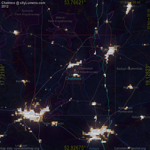
» Earth at Night: Flat Maps 2012, 2016