Zhob night lights from space
Night Light of Zhob (Balochistan) from space (Pakistan) Src. Average luminocity for 10x10km area is 2.757% and for 50x50km: 0.1159%.

Analysis of Zhob night lights 2016
Square area 10x10 km:
 0%
0%90-99
1.22%80-89
0.17%70-79
0%60-69
0%50-59
0%40-49
2.1%30-39
0.7%20-29
0%10-19
0%0-9
95.8%Square area 50x50 km:
0%90-99
0.05%80-89
0.01%70-79
0%60-69
0%50-59
0%40-49
0.09%30-39
0.03%20-29
0%10-19
0%0-9
99.82%Clear (daylight) street map image can be seen on geolist.org.
Map coordinates:
31° 56' 21.9" North, 68° 44' 46.2" East
31° 20' 27" North, 69° 26' 57.5" East
30° 44' 18.2" North, 70° 9' 8.7" East
Some cities around Zhob sort by population:
• Dera Ismail Khan
148 km =92 mi,  68°
68°
• Layyah
147.9 km =91.9 mi,  106°
106°
• Shorkot
149.3 km =92.8 mi,  64°
64°
• Taunsa
134.6 km =83.6 mi,  121°
121°
• Tank
131.5 km =81.7 mi,  42°
42°
• Loralai
135.1 km =83.9 mi,  216°
216°
• Karor
143.3 km =89 mi,  95°
95°
• Kulachi
116 km =72.1 mi, 55°
1162105 (p: 50,537)
Sources (retrieved 2019-11-25):
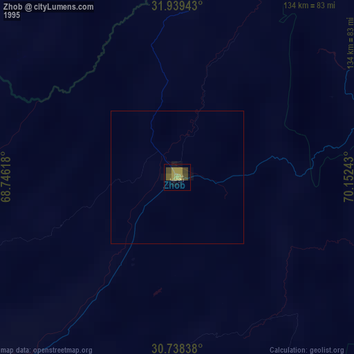
» NASA, Earths city lights 1995
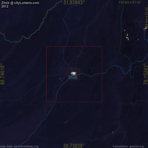
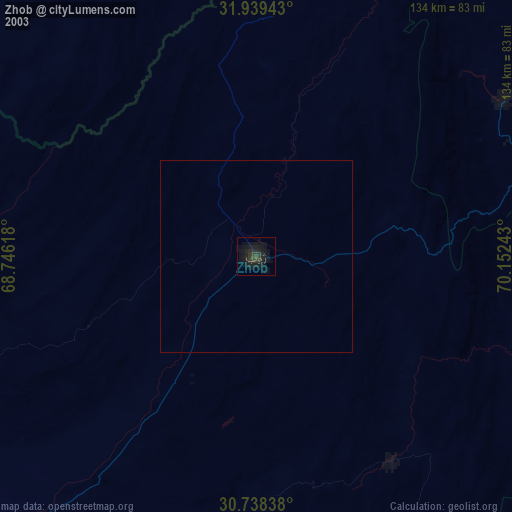
» NASA city lights 2003
» Earth at Night: Flat Maps 2012, 2016