Tando Jam night lights from space
Night Light of Tando Jam (Sindh) from space (Pakistan) Src. Average luminocity for 10x10km area is 34.0377% and for 50x50km: 18.0766%.
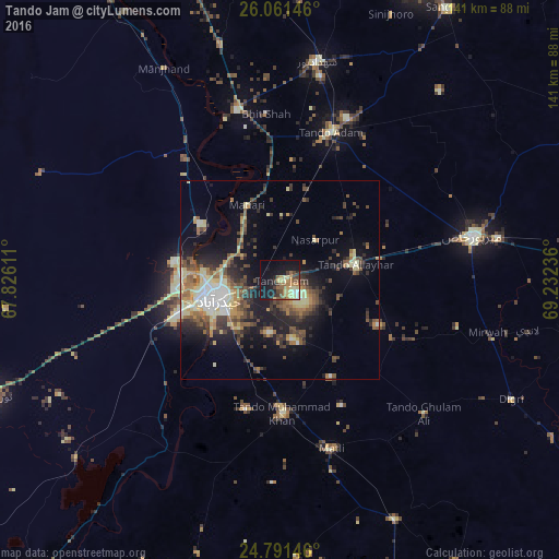
Analysis of Tando Jam night lights 2016
Square area 10x10 km:
 0.79%
0.79%90-99
3.77%80-89
8.93%70-79
4.56%60-69
6.75%50-59
6.15%40-49
5.56%30-39
4.37%20-29
4.96%10-19
33.13%0-9
21.03%Square area 50x50 km:
1.38%90-99
2.07%80-89
3.62%70-79
1.86%60-69
2.44%50-59
3.57%40-49
3.57%30-39
3.24%20-29
4.6%10-19
10.72%0-9
62.92%Clear (daylight) street map image can be seen on geolist.org.
Map coordinates:
26° 3' 41.3" North, 67° 49' 34" East
25° 25' 41.3" North, 68° 31' 45.2" East
24° 47' 29.3" North, 69° 13' 56.5" East
Some cities around Tando Jam sort by population:
• Hyderabad
16.1 km =10 mi,  255°
255°
• Kotri
23.3 km =14.5 mi,  252°
252°
• Matli
44.7 km =27.8 mi,  163°
163°
• Hala
44.3 km =27.5 mi,  345°
345°
• Bhit Shah
42.1 km =26.2 mi, 354°
• Matiari
20.5 km =12.7 mi,  336°
336°
• Chamber
32.1 km =19.9 mi,  117°
117°
• Berani
48.5 km =30.1 mi,  35°
35°
1163958 (p: 31,612)
Sources (retrieved 2019-11-25):
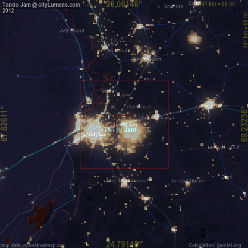
» Earth at Night: Flat Maps 2012, 2016