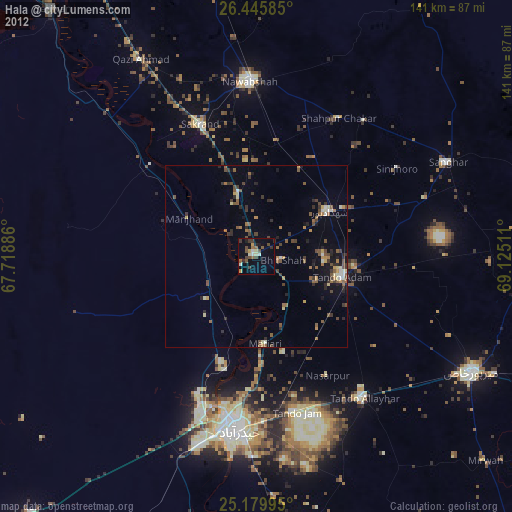
Hala night lights from space
Night Light of Hala (Sindh) from space (Pakistan) Src. Average luminocity for 10x10km area is 18.0606% and for 50x50km: 4.8327%.
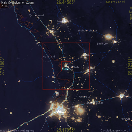
Analysis of Hala night lights 2016
Square area 10x10 km:
 0.38%
0.38%90-99
2.84%80-89
2.08%70-79
0.95%60-69
2.46%50-59
4.17%40-49
3.03%30-39
5.11%20-29
2.65%10-19
4.92%0-9
71.4%Square area 50x50 km:
0.09%90-99
0.35%80-89
0.63%70-79
0.3%60-69
0.57%50-59
1.05%40-49
1.26%30-39
1.6%20-29
1.13%10-19
2.09%0-9
90.92%Clear (daylight) street map image can be seen on geolist.org.
Map coordinates:
26° 26' 45.1" North, 67° 43' 7.9" East
25° 48' 52.5" North, 68° 25' 19.1" East
25° 10' 47.8" North, 69° 7' 30.4" East
Some cities around Hala sort by population:
• Tando Adam
24.6 km =15.3 mi,  102°
102°
• Shahdadpur
23.6 km =14.7 mi,  58°
58°
• Sakrand
38.9 km =24.2 mi,  337°
337°
• Shahpur Chakar
44.1 km =27.4 mi,  31°
31°
• Bhit Shah
7 km =4.3 mi, 98°
• Matiari
24.3 km =15.1 mi,  174°
174°
• Berani
38.7 km =24 mi,  94°
94°
• Sann
37.9 km =23.5 mi,  311°
311°
1177278 (p: 47,915)
Sources (retrieved 2019-11-25):
» Earth at Night: Flat Maps 2012, 2016