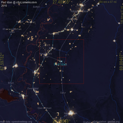
Pad Idan night lights from space
Night Light of Pad Idan (Sindh) from space (Pakistan) Src. Average luminocity for 10x10km area is 4.5853% and for 50x50km: 2.0989%.

Analysis of Pad Idan night lights 2016
Square area 10x10 km:
 0.4%
0.4%90-99
0.79%80-89
0.4%70-79
0.4%60-69
0%50-59
0%40-49
0.79%30-39
1.98%20-29
3.37%10-19
0.2%0-9
91.67%Square area 50x50 km:
0.02%90-99
0.07%80-89
0.17%70-79
0.19%60-69
0.54%50-59
0.38%40-49
0.66%30-39
0.57%20-29
0.74%10-19
0.36%0-9
96.32%Clear (daylight) street map image can be seen on geolist.org.
Map coordinates:
27° 24' 2" North, 67° 35' 52.2" East
26° 46' 28.4" North, 68° 18' 3.4" East
26° 8' 42.3" North, 69° 0' 14.7" East
Some cities around Pad Idan sort by population:
• Moro
32.3 km =20.1 mi,  247°
247°
• Tharu Shah
26.1 km =16.2 mi,  315°
315°
• Naushahro Firoz
19.1 km =11.9 mi,  292°
292°
• Bhiria
18.4 km =11.4 mi,  325°
325°
• Darya Khan Marri
10.9 km =6.8 mi,  187°
187°
• Bandhi
20.8 km =12.9 mi,  179°
179°
• Karaundi
17.2 km =10.7 mi,  37°
37°
• Kandiari
26.9 km =16.7 mi,  54°
54°
1168652 (p: 20,919)
Sources (retrieved 2019-11-25):
» Earth at Night: Flat Maps 2012, 2016