Kalur Kot night lights from space
Night Light of Kalur Kot (Punjab) from space (Pakistan) Src. Average luminocity for 10x10km area is 0% and for 50x50km: 0.9416%.
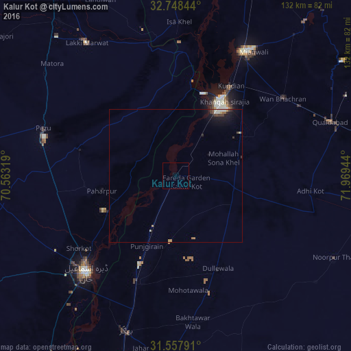
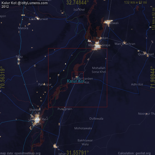
Analysis of Kalur Kot night lights 2016
Square area 10x10 km:
 0%
0%90-99
0%80-89
0%70-79
0%60-69
0%50-59
0%40-49
0%30-39
0%20-29
0%10-19
0%0-9
100%Square area 50x50 km:
0.01%90-99
0.27%80-89
0.06%70-79
0.14%60-69
0.08%50-59
0.06%40-49
0.21%30-39
0.13%20-29
0.16%10-19
0.96%0-9
97.92%Clear (daylight) street map image can be seen on geolist.org.
Map coordinates:
32° 44' 54.4" North, 70° 33' 47.5" East
32° 9' 18.4" North, 71° 15' 58.7" East
31° 33' 28.5" North, 71° 58' 10" East
Some cities around Kalur Kot sort by population:
• Dera Ismail Khan
49.8 km =30.9 mi,  223°
223°
• Mianwali
53 km =32.9 mi,  27°
27°
• Shorkot
45.7 km =28.4 mi,  233°
233°
• Dullewala
39.1 km =24.3 mi,  155°
155°
• Kundian
39.1 km =24.3 mi, 30°
• Paharpur
28.4 km =17.6 mi,  258°
258°
• Harnoli
30.4 km =18.9 mi,  63°
63°
• Darya Khan
44 km =27.3 mi,  200°
200°
1175180 (p: 25,574)
Sources (retrieved 2019-11-25):
» Earth at Night: Flat Maps 2012, 2016