Jhawarian night lights from space
Night Light of Jhawarian (Punjab) from space (Pakistan) Src. Average luminocity for 10x10km area is 0.5018% and for 50x50km: 0.9619%.
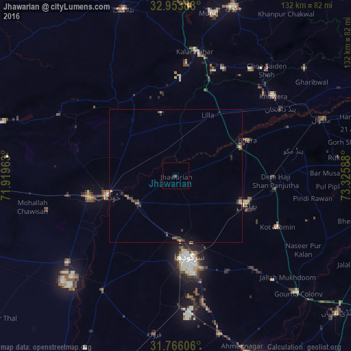

Analysis of Jhawarian night lights 2016
Square area 10x10 km:
 0%
0%90-99
0%80-89
0%70-79
0%60-69
0%50-59
0%40-49
0.73%30-39
0%20-29
0.73%10-19
0%0-9
98.53%Square area 50x50 km:
0.01%90-99
0.01%80-89
0.1%70-79
0.18%60-69
0.03%50-59
0.23%40-49
0.26%30-39
0.29%20-29
0.32%10-19
0.33%0-9
98.22%Clear (daylight) street map image can be seen on geolist.org.
Map coordinates:
32° 57' 14" North, 71° 55' 10.7" East
32° 21' 42.9" North, 72° 37' 21.9" East
31° 45' 57.8" North, 73° 19' 33.2" East
Some cities around Jhawarian sort by population:
• Sargodha
31.1 km =19.3 mi,  171°
171°
• Khushāb
26.4 km =16.4 mi,  254°
254°
• Bhalwal
28 km =17.4 mi,  112°
112°
• Jauharabad
33 km =20.5 mi,  256°
256°
• Kot Mumin
42.9 km =26.7 mi,  116°
116°
• Bhera
30 km =18.6 mi,  63°
63°
• Shahpur
17.8 km =11.1 mi,  234°
234°
• Liliani
35.5 km =22.1 mi, 119°
1175870 (p: 27,893)
Sources (retrieved 2019-11-25):
» Earth at Night: Flat Maps 2012, 2016