Bhera night lights from space
Night Light of Bhera (Punjab) from space (Pakistan) Src. Average luminocity for 10x10km area is 5.9469% and for 50x50km: 1.4443%.
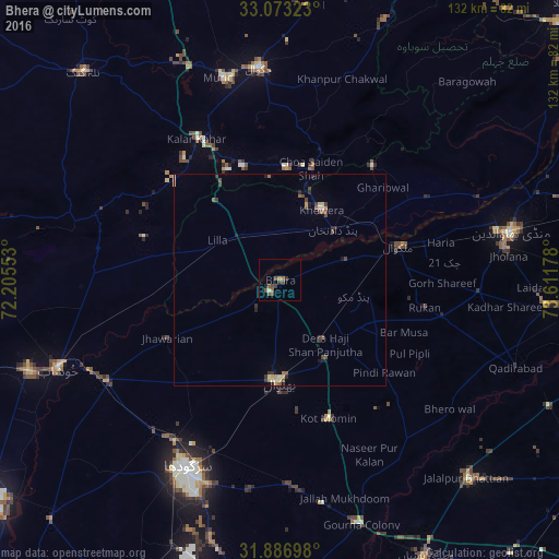
Analysis of Bhera night lights 2016
Square area 10x10 km:
 0%
0%90-99
0%80-89
0.73%70-79
0.18%60-69
0.55%50-59
2.93%40-49
3.66%30-39
2.01%20-29
0.37%10-19
0.55%0-9
89.01%Square area 50x50 km:
0.02%90-99
0.05%80-89
0.26%70-79
0.2%60-69
0.06%50-59
0.33%40-49
0.52%30-39
0.4%20-29
0.27%10-19
0.29%0-9
97.58%Clear (daylight) street map image can be seen on geolist.org.
Map coordinates:
33° 4' 23.6" North, 72° 12' 19.9" East
32° 28' 55.4" North, 72° 54' 31.1" East
31° 53' 13.1" North, 73° 36' 42.4" East
Some cities around Bhera sort by population:
• Bhalwal
24.1 km =15 mi,  182°
182°
• Malakwal City
29.6 km =18.4 mi,  74°
74°
• Malakwal
29.6 km =18.4 mi, 74°
• Khewra
20.9 km =13 mi,  27°
27°
• Jhawarian
30 km =18.6 mi,  243°
243°
• Pind Dadan Khan
17.2 km =10.7 mi,  47°
47°
• Choa Saidan Shah
27.4 km =17 mi,  15°
15°
• Liliani
31.2 km =19.4 mi,  172°
172°
1182665 (p: 31,781)
Sources (retrieved 2019-11-25):
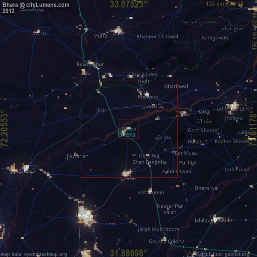
» Earth at Night: Flat Maps 2012, 2016